
Baja Divide: Bahía de los Ángeles to Mugelé

We’re back at it on the bikes – this time ~1600 miles on gravel as we traverse Mexico’s Baja Penninsula from San Diego, CA to San Jose del Cabo, Baja California Sur.


Day 22 – 30.7 Miles / +1430 ft gain
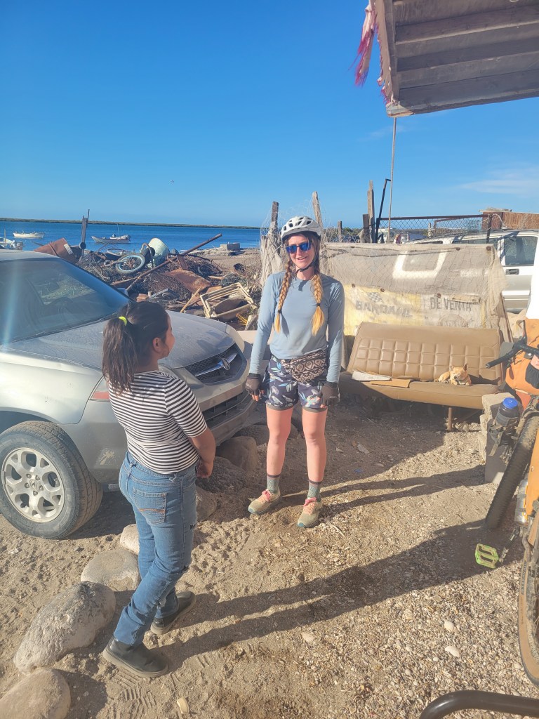
We awoke in Bahía de los Ángeles still needing to finish a few chores before we left. We’ve been having a hard time finding places to wash our laundry, so we couldn’t pass up the opportunity and dropped off our laundry early. In the meantime, we resupplied for the next stretch and got the bikes ready. It was about 11:30 when we headed back out on bikes. The pavement ended almost immediately, and we were back grinding gravel. The route slowly climbed from sea level as we wound back into the desert.
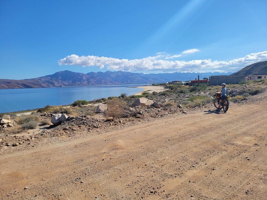
In the mid-afternoon, a truck passed us and checked that we were doing ok and offered a cold beer. Sure! We chatted with Alex and McKenzie for a few minutes as they shared their experience road-tripping through Baja. They also informed us of some cave paintings ahead on our route which left us intrigued but a little unsure of exactly where to find them.We continued rolling and ended our day after our 30 mile “half day” ride.
Day 23 – 62.8 Miles / +3843 ft gain
This day was brought to us by the letter S.
S is for Sand.
Our morning was brisk but beautiful as we took off from camp at sunrise. A short climb up and over brought us back to sea level and a beautiful bay on the Sea of Cortez.

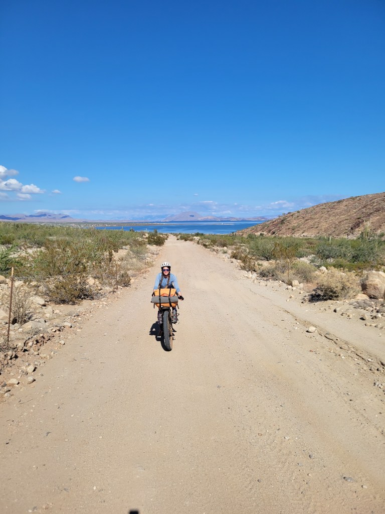
We kept pedaling but were greeted shortly by deep sand that required us to push our bikes. A continuous and rather annoying pattern broke out of riding the bikes and pushing the bikes and riding the bikes and pushing the bikes while our shoes filled with buckets of sand. We lowered our tire pressure which made a significant difference yet there were still sections we had to walk through.

Just before lunch, we passed two truck campers eager to chat with us about our journey. I asked if they knew about any cave paintings ahead and they were quick to offer some direction. We peered at a map and had a decent understanding of where to find this unmarked turn toward a cave. We even saw their photos which really got me set on trying to figure out this side quest. We said our goodbyes and pedaled on.

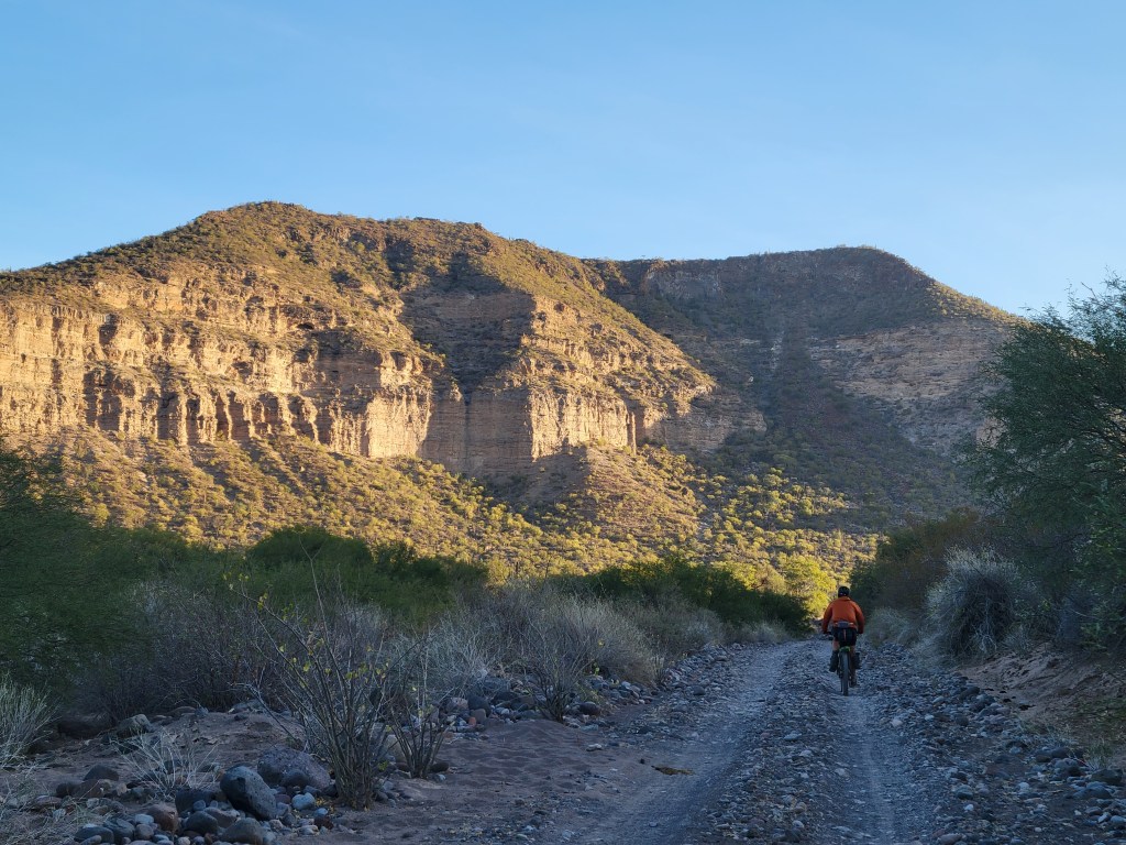
After lunch, a big ascent began under the blazing sun. Though challenging, we were grateful to be slightly pulled out of the sandbox and onto a harder rocky surface as we sweated our way uphill.

As we crested the pass, we began gliding downhill only to return to deep sand. Eventually, we crossed a fork in the road and took a turn off route to Rancho Escondido to fill up on water. The guide mentioned that the stop was off route, but we weren’t super stoked to learn it was 2 miles off through the sand box. Oof. We arrived at the ranch and restocked our waters and chatted with the lovely family there, but needed to make it brief and continue on our way. The slog resumed.
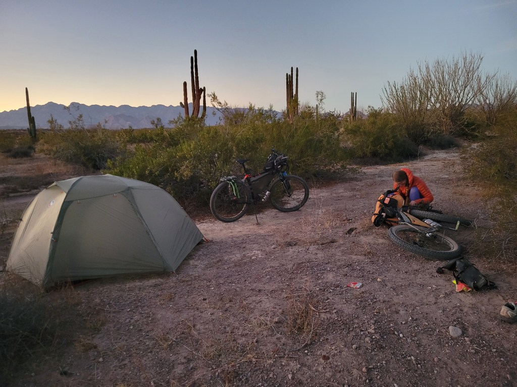
We got back to the route at 2:30 PM with 70 ish miles to Vizacino, our next resupply. We had planned to be in town the next evening, so we pressed on. The sandy slog continued. Around 4:30 we were already pretty drained as we looked up towards our next pass. Slowly we gained elevation through persistent sand. As we neared the top, the pitch was so steep that a short stretch was roughly paved so cars didn’t slip down the mountain. The top of the pass provided some cool scenery and rolling hills as the sun set. With about 15 miles to go to Rancho Piedra Blanca, we decided to turn on the headlights and ride under the starlit sky. On the other side of the pass, we were greeted with a howling headwind but decided to still try to make it to the ranch provided we didn’t return to a solely sandy slog. Thankfully, the road remained firm and the stars were sparkling as we counted down the miles in the wind to the ranch. We were warmly greeted at Rancho Piedra Blanca and shown a perfect covered spot to pitch our tent for 100 pesos complete with restrooms, electricity, wifi, and cold Tecates. We cheers-ed our longest, struggly 63 mile day and fell fast asleep.
Day 24 – 50.3 Miles / +1545 ft gain
We packed up and hit it by sunrise. We were told the road improves from this point but found our relentless sand replaced with washboard. And some sand. Though still challenging, it was a bit more rideable.
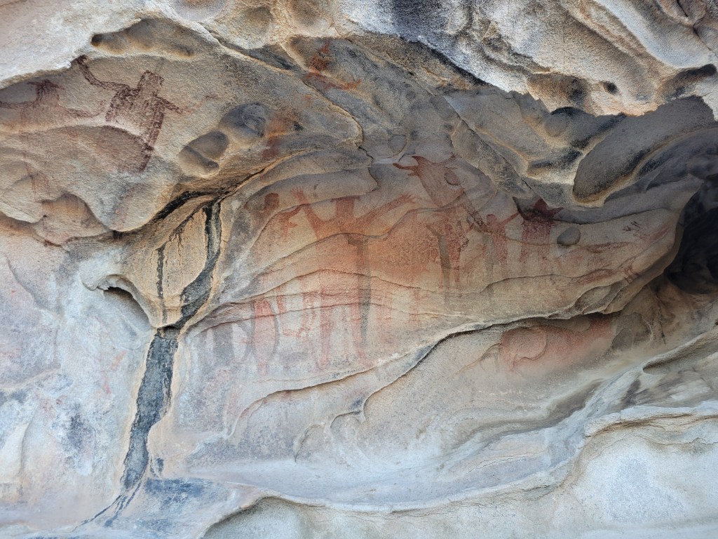
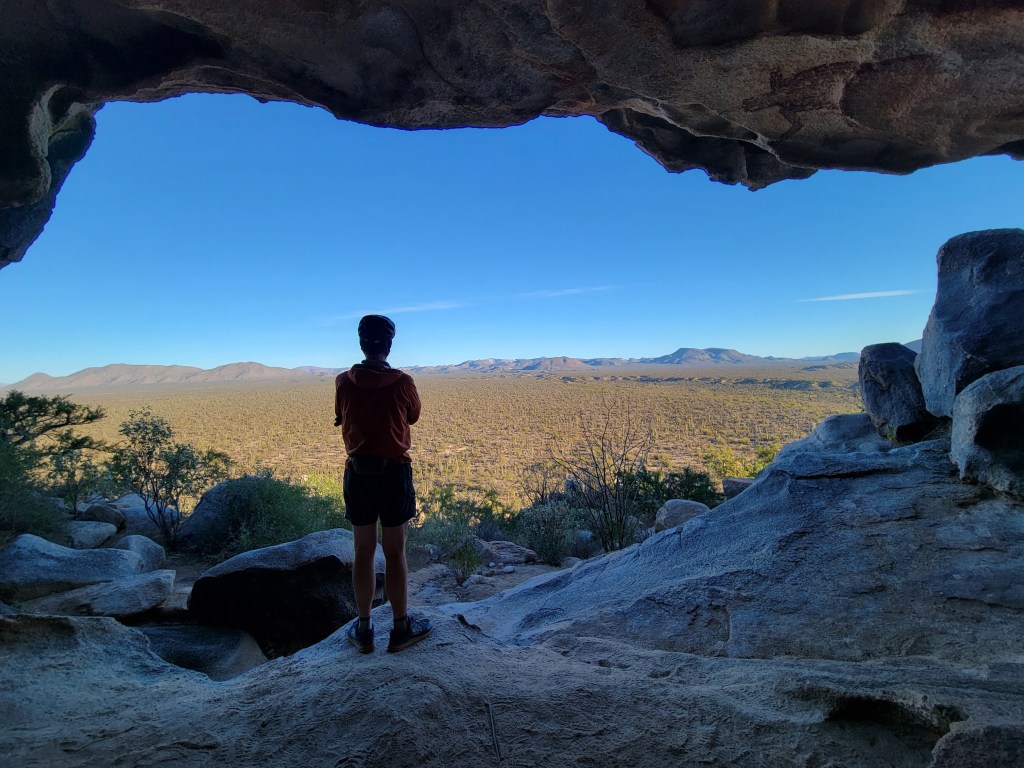
I still had these cave paintings on my mind so I started looking for the geographical cues that I saw on the map including a big mesa on my left, the named “Cerro Colorado” labeled on my route to the right, and crossing a creek bed just before the turnout. When all three cues were aligned, I started scouring for a well-used unmarked turnout on my left and found one. I convinced Sean to take the gamble, and we timed our side-quest so we weren’t aimlessly wandering around the desert. About 3/4 mile bike ride on a nice firm road dead ended to a footpath, exactly as indicated by our instructions. We started in on a mostly uphill hike leaving the bikes a little ways off the road. Within about 5 minutes of walking, we could see the cave etched into the mesa and a little further could start to see the paintings. Bingo! We spent a few minutes gazing at the cave paintings and the surrounding view before we retraced our way back to the route. In total, it took 40 minutes away from the ride which was totally worth it.

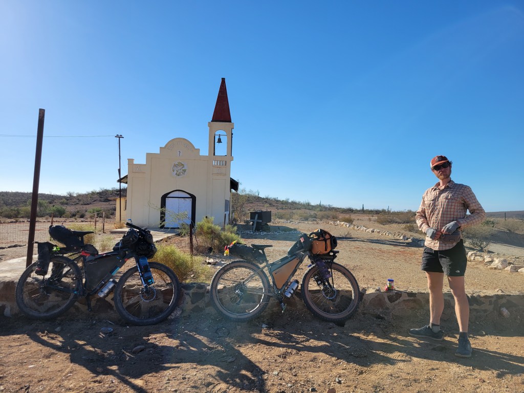
We continued riding the washboard and a little sand though the route continued to improve. We took a short snack break at the tiny town of El Arco and pressed on.
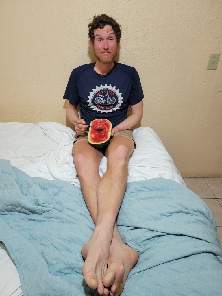
Our guide indicated more deep sand for approximately 10 miles between El Arco and Vizcano, so we mentally prepared for the slog. While we did find some sandy patches, it honestly wasn’t as bad as the previous day. The road worsened but then improved when we were just a few miles from the city of Vizcaíno. As the road improved the miles ticked by, and we were suddenly on the edge of town. The Baja Divide route hit highway Mex 1, and we found a viable hotel at the intersection with a nearby grocery store for 550 pesos for the night at Hotel Martitha. We looked no further and settled in for showers, food, and a good night’s sleep.
Day 25 – 68 Miles / +2001 ft gain
We headed out of town on a bit of dirt road surrounding the city skirting the local dump and eventually the route led back to Mex 1. We cruised down the highway for around 20 miles before heading off on a dirt road that was basically flat and endless. The route guide had described this section as pretty sandy and lackluster and… well that was true. We spent several hours between pushing and riding through deep sand without much of anything interesting scenery wise.

We were pretty bored and frustrated by mid-afternoon when we hit a short stretch of pavement about 25 miles from the next town of San Ignacio. A quick glance of the map indicated the road led back to Mex 1 and into town. The choice was pretty easy to divert from the Baja route and create our own adventure, opting to actually ride our bikes instead of pushing them. Since the sun sets so early this time of year, we put ourselves in a race against the clock to get to town before we would be highway riding in the dark, essentially trading one challenge for another.

My energy was about zapped halfway through pounding pavement, but we still had about 15 miles to get to town. We put our heads down and pedaled on through the rolling hills. We rolled into San Ignacio exhausted after 68 miles as night fell. Playing “ok, where are we staying” is one of my least favorite games especially when I’m exhausted. We turned down 1 hotel and settled on another that was… decent.
Day 26 – 60.3 Miles / +1396 ft gain
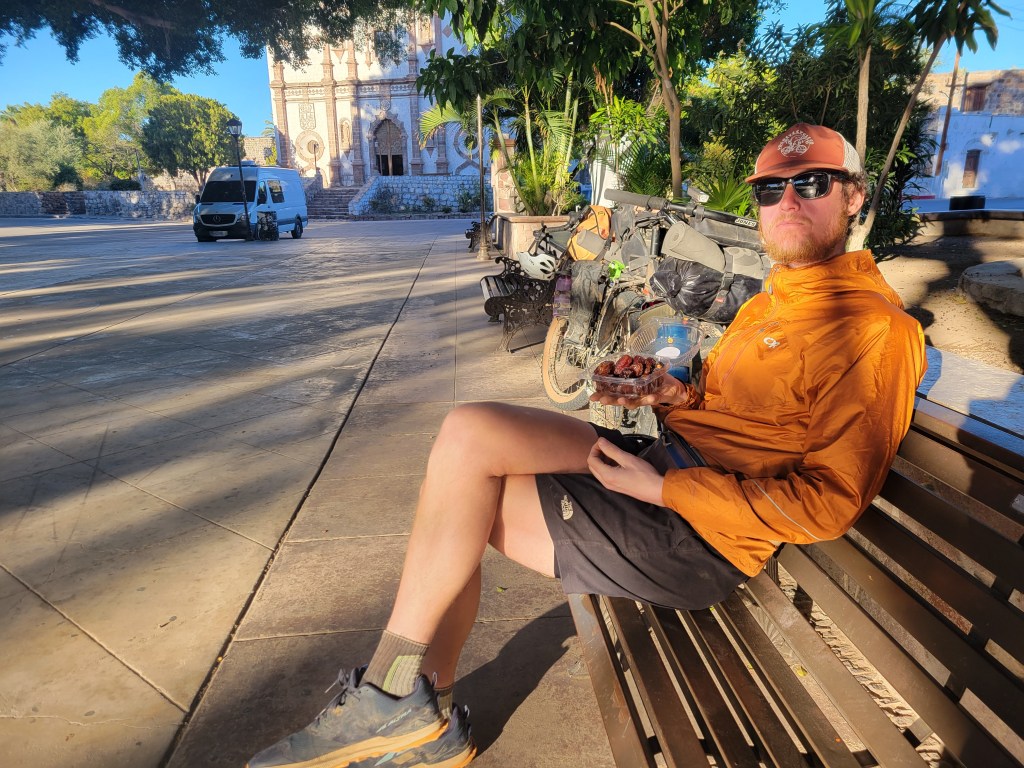
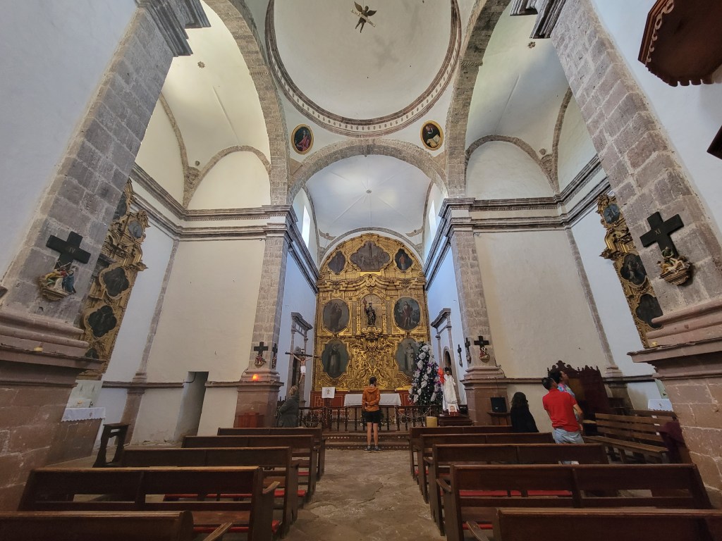
We slept in a little, packed up, and biked over to the tourist area of town with a large plaza adjacent to the Mision church that was built in the 1700s. The ride was incredibly pleasant as we rode under palm trees and near the lagoon in the San Ignacio oasis. We parked in the plaza and spent a relaxing morning drinking coffee and enjoying the locally grown dates! While we passed time, we saw several van-lifers and got acquainted with a like minded couple – Regina and Greg. After a brief walk inside the church, we packed up and started to make our way down the route.

From San Ignacio, we continued on pavement gradually descending nearly 2000 ft over 30 miles. Immediately leaving town, we were back in the desert which became more and more barren as we neared San Ignacio Bay. Eventually we resumed riding on gravel roads and reached the coast.
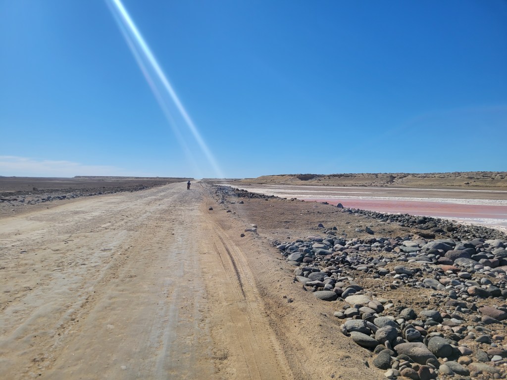
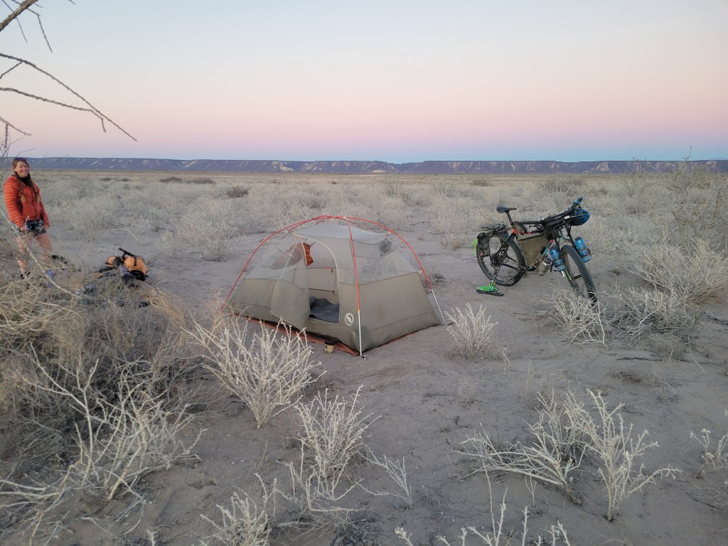
After passing multiple tiny coastal villages, we found ourselves crossing dry lake beds in a very strange and empty landscape. A tailwind propelled us through this uninspiring landscape which provided easy but pretty boring miles. Even with a late start, we still managed 60 miles. We camped in a sand pit near the dry lake bed, eager to move on from this section of riding.
Day 27 – 59.4 Miles / +2261ft gain
We resumed our ride in dry lake beds until we accidentally managed to hit an old sandy road route. We trudged through over a mile, pushing the bikes through deep sand, frustrated that we had missed a turn to stay within the fast moving lake bed. After a bit of bushwhacking, we returned to the hard lake bed route and continued. We eventually came to the tiny fishing village of El Datíl to resupply for the next 90 miles. We found 2 tiny stores which were a little sad for a 2 day resupply and were told there was a third. We did a couple of confused laps around the town asking for directions to the store. Thankfully a young girl befriended us and led us on foot to the store, hidden between 2 cargo trailers without any signs. After fully resupplying, we took off for a few more miles whizzing through the lake beds and eventually leaving the coast and heading up through rocky and sandy terrain.
We eventually hit a wider gravel road which seemed to be a more commonly used. Not too long after, we made a turn by a stream which would lead into a canyon and to our next town, Mulegé.

This particular road had storm damage a few years back, but looked like it was in slightly better repair than our guide indicated. The route was rideable but littered in chunky rocks, creating a slow bumpy ride. About 8 miles in, we were pleasantly surprised to see a ranch welcoming bikers with meals, snacks, water, and beers for sale. We popped in for a quick visit and continued on our way. After a couple more hours bumping along, we called it for the night and found a soft spot in the sand to camp.


Day 28 – 52.4 Miles / +2581 ft gain
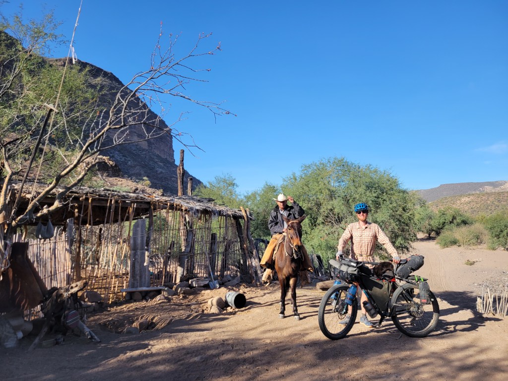
We began riding at sunrise, a slow and steady slog with a stunning canyon as a backdrop. We maintained a 4 – 5 mph pace. Around 9:00 AM, we came across a rancher welcoming us to his home. We were grateful for a short stop for hot coffee, but we had many miles to cover on our way to Mulegé.

We went back to it, slow and steady, this time adding in maybe a dozen stream crossings. For the most part we kept our feet dry but time was ticking and the miles… weren’t.

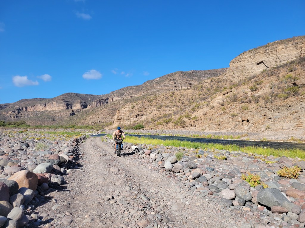
Around 2:00, we crested our high point for the day which began a roller coaster series of riding with incredibly steep descents and ascents all amongst some remarkable canyon scenery as the backdrop. From here, we had about 20 miles remaining to Mulugé.

The scenery was some of our favorite within the route as we cascaded through the canyon. My energy levels were dwindling and, to some degree, the canyon became never ending as if it had swallowed me for good. I was somewhat relieved to have the steep walls open up and resume a more steady pace. Dont worry – a strong headwind, deep sand, and washboard were there to make sure I didn’t go too fast.
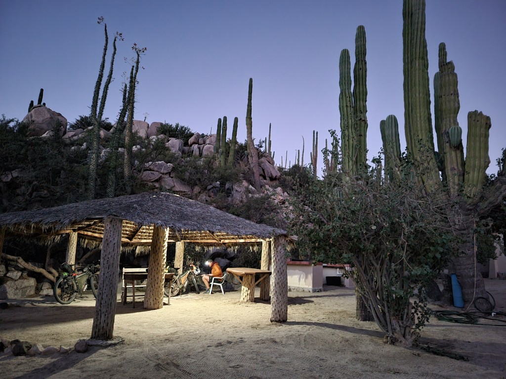
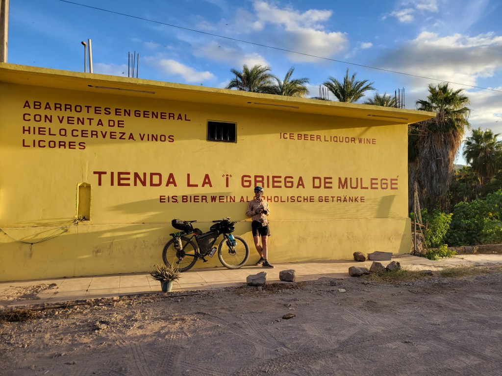
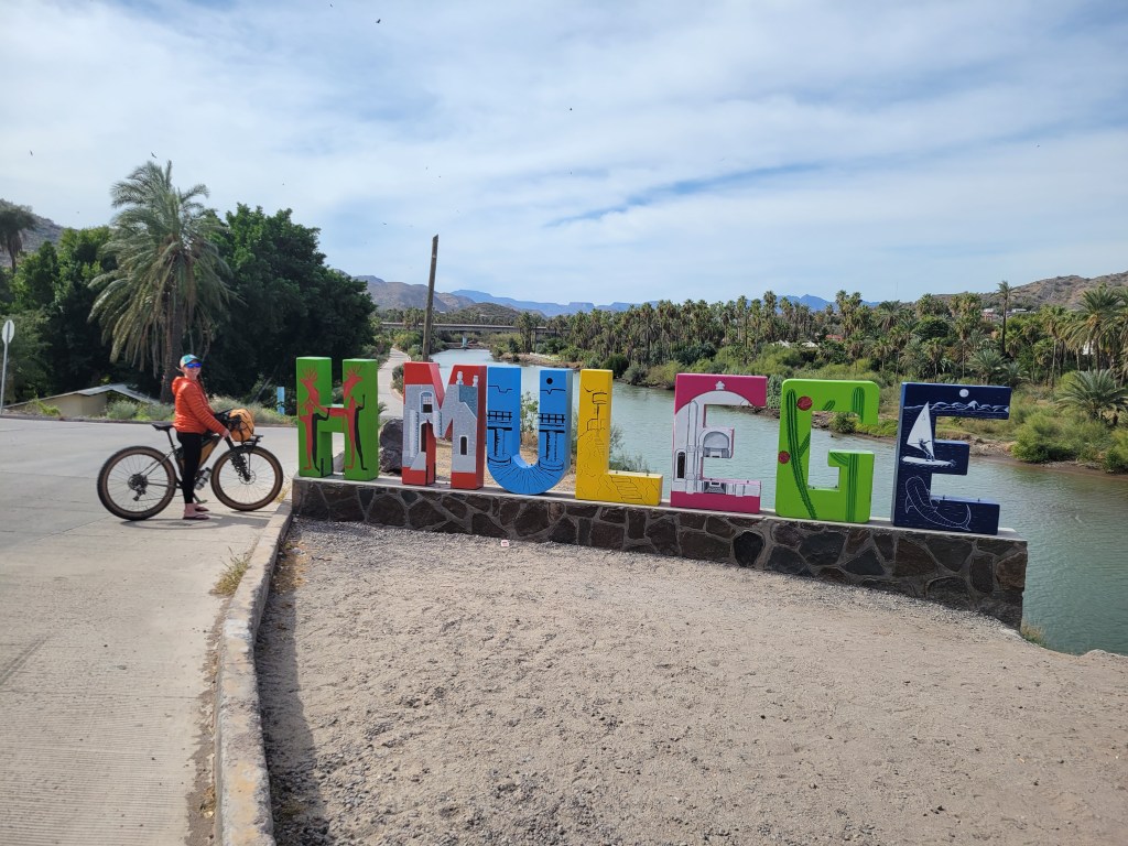
In the early evening, dirt turned to pavement as we entered the outskirts of Mulegé, the orange groves welcoming us back to the Sea of Cortez. We meandered through neighborhoods and eventually to the heart of this oasis in the desert. Palm trees lined the river that opens up to the sea. We checked out one hotel where the price was right, but was a little… lacking. We decided to load up on food for the evening and continue our search. We were extra lucky to stumble upon Clementine’s which was somewhere between a hostel and hotel with 4 private rooms and access to a large communal kitchen. Big bonus – we were the only ones staying for the night! Stoked on our find, we had a perfect night cooking food and planning out our last couple weeks of the trip.

Bahía de los Ángeles to Mulegé
- 7 Days Riding
- 383.9 miles ridden
- 54.8 miles / day average
- +15,057 ft gain
- +2151 ft gain / day average
Total Stats
- 25 Days Riding + 3 0-Mile Days
- 1117.9 miles ridden
- 44.7 miles / day average (without 0s)
- 39.9 miles / day average (with 0s)
- +66,976 ft elevation gain
- +2,679 ft gain / day average (without 0s)

How do I get my friends