
Western Wildlands Route SEGMENT 9 – AZ / Mex Border to Globe, AZ

We just started the Western Wildlands Route (WWR) on bicycles northbound starting at the AZ / Mexican border. Since we are tackling the route northbound, “Segment 9” is our first segment.

Day 1 – 35 miles / +600 ft gain
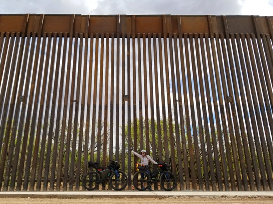
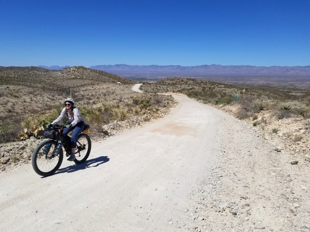
Woohoo! The day was finally here to wrap up all the little details and head out on the bikes. We left Sierra Vista, the nearest town to the trailhead, in the early afternoon to tap the Mexican border. About 4 miles north of the wall, we hit our first stretch of dirt road and headed south. After a couple pics and a snack, we started the long journey north on the Western Wildlands Route.
Day 2 – 60.4 miles / +2000 ft gain
Our day was a mix of dirt and pavement. We rolled through the tiny historic town of Tombstone and ate a quick lunch before returning to the desert dirt roads. We ended the day in Benson right off the I-10. With no camping prospects nearby, we decided to stay in town for the night.


Day 3 – 62 miles / +3600 ft gain
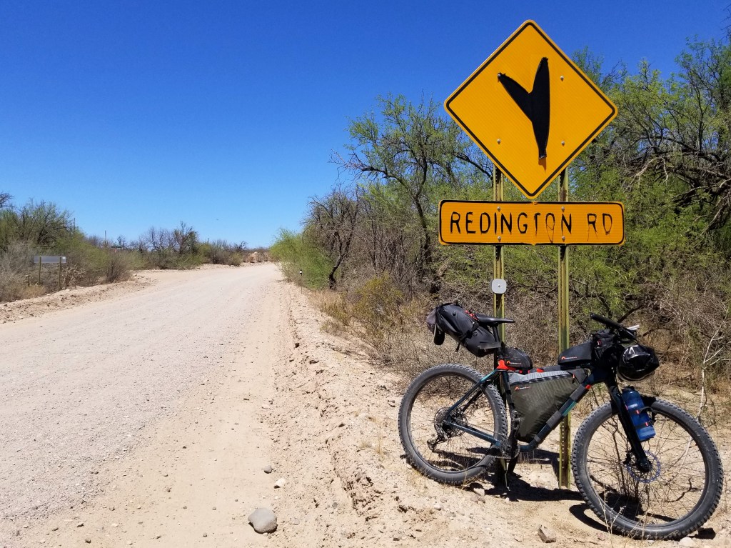
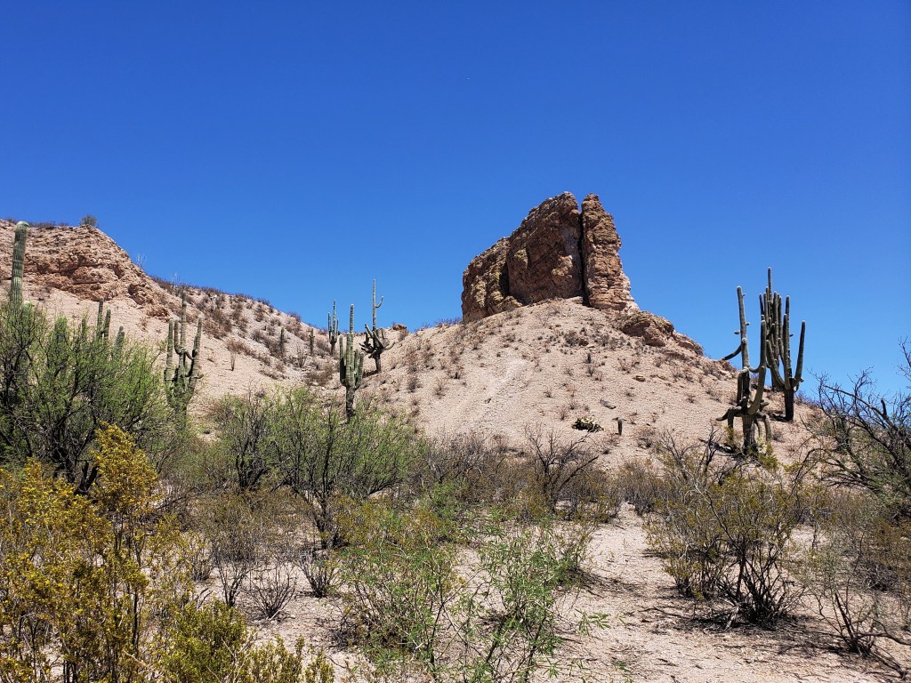
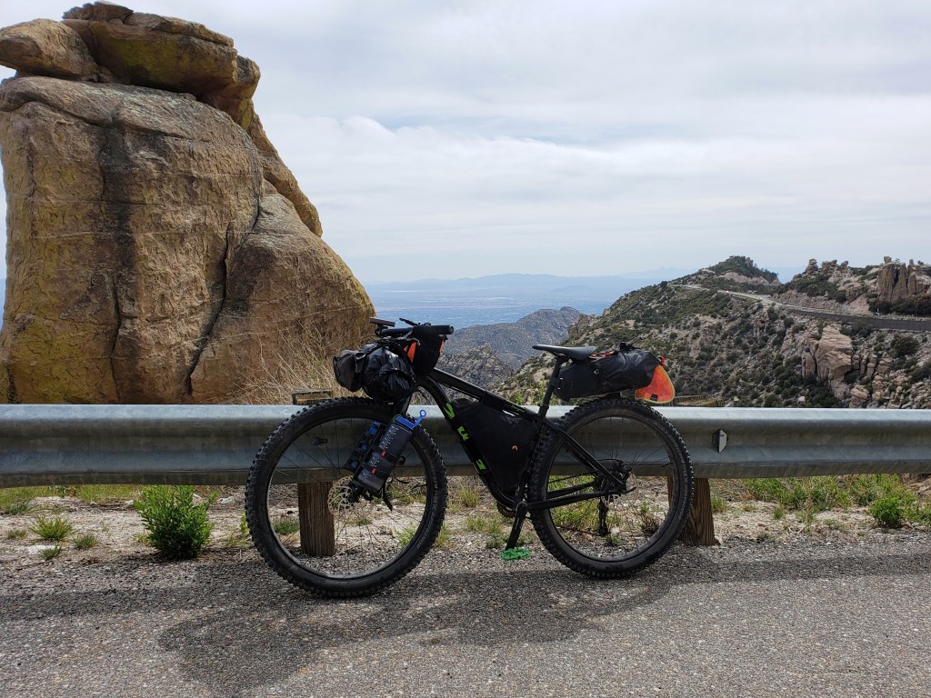
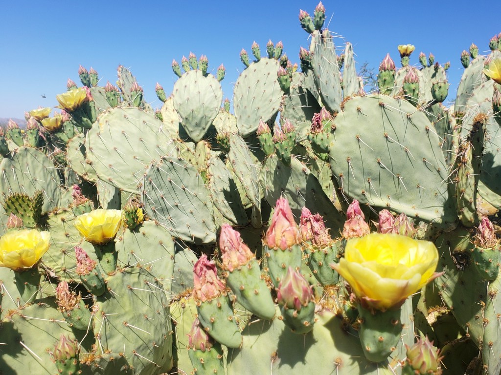
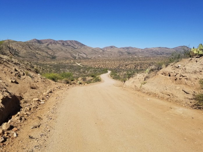
We got an early start from the hotel and continued north. The first 25 or so miles were on paved back roads. Eventually, we happily hit dirt and took a quick stop for water and lunch at the Cascabel Community Center. The saguaro cacti started to take over the desert floor and abundant sunshine spilled down on us. We spent the afternoon slowly climbing between Mount Mica and Mount Lemmon.


Day 4 – 54 miles / +6500 ft gain
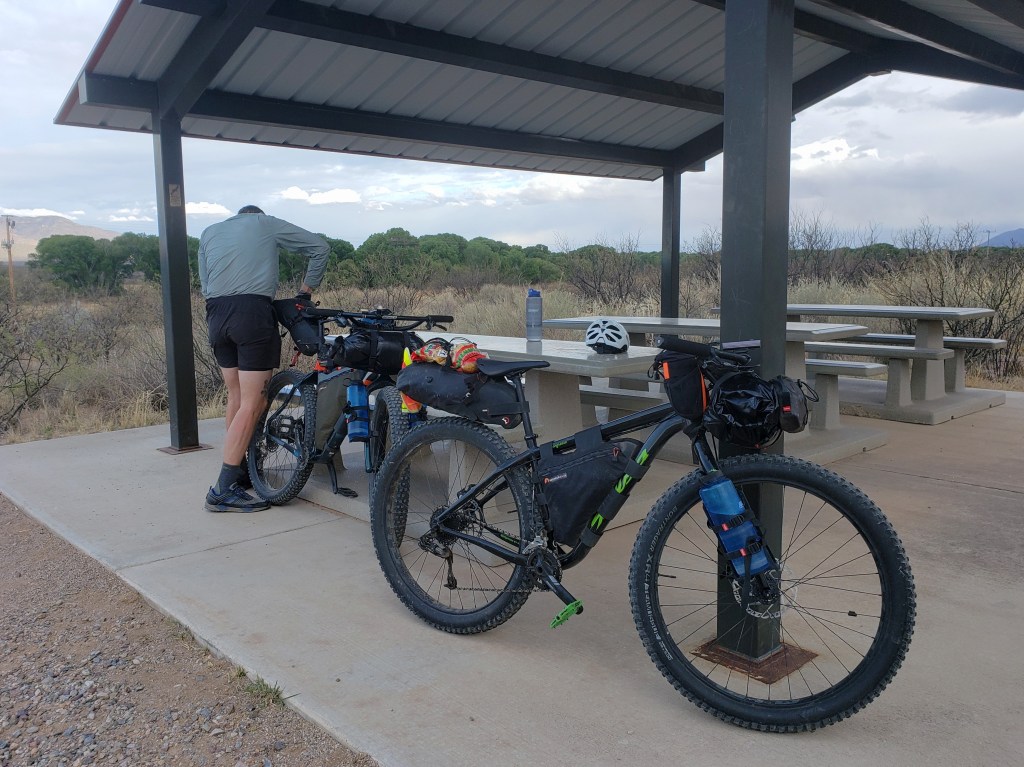
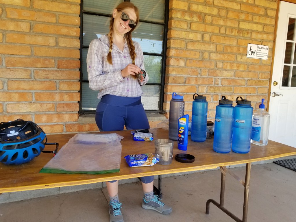
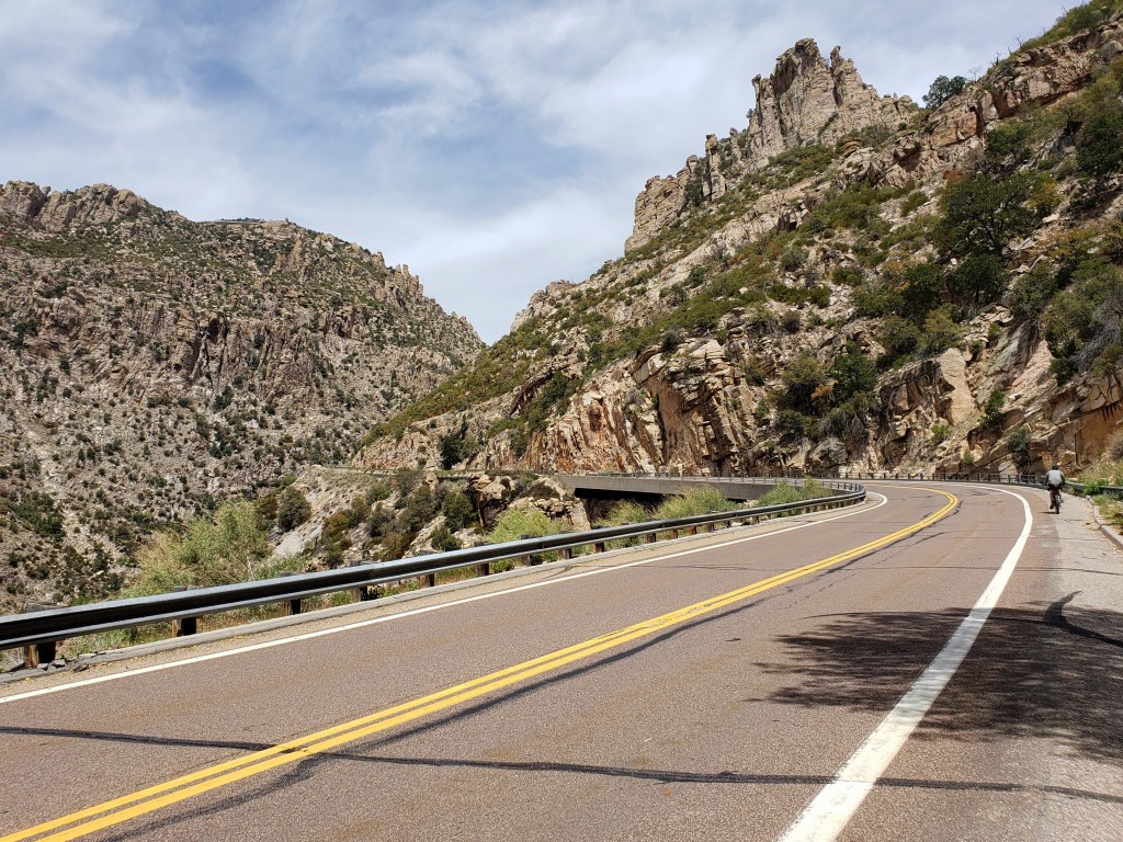
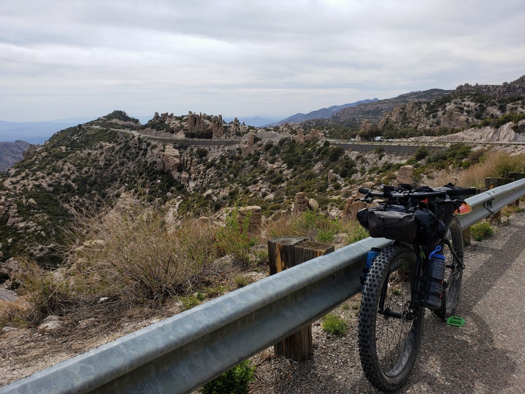
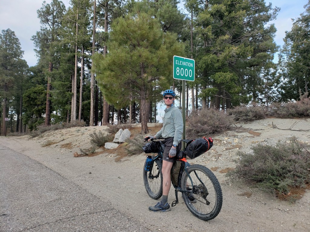
We awoke knowing we had a big day ahead of us – climbing over 6000 ft to the top of Mount Lemmon. We made a quick stop in the outskirts of Tucson to resupply and headed out for our big climb. Thankfully, we met Shelby, a cyclist turned cyclist shuttler for the day, who let us pump up our tires since the ride up was on pavement.The slog was slow and steady hovering around 90° to start and shedding about 3 degrees with every 1000 ft we climbed. Depending on the grade of the road, we averaged between 3-5 miles per hour for about 8 hours. With show tunes in my ear, I really didn’t mind the slog.
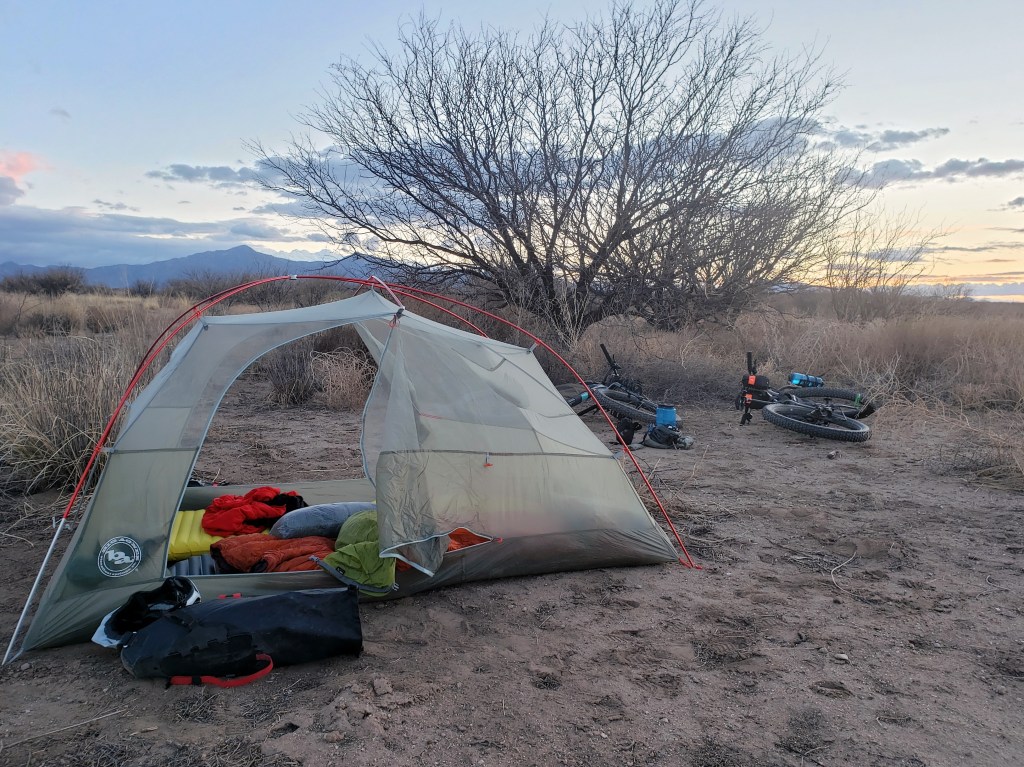
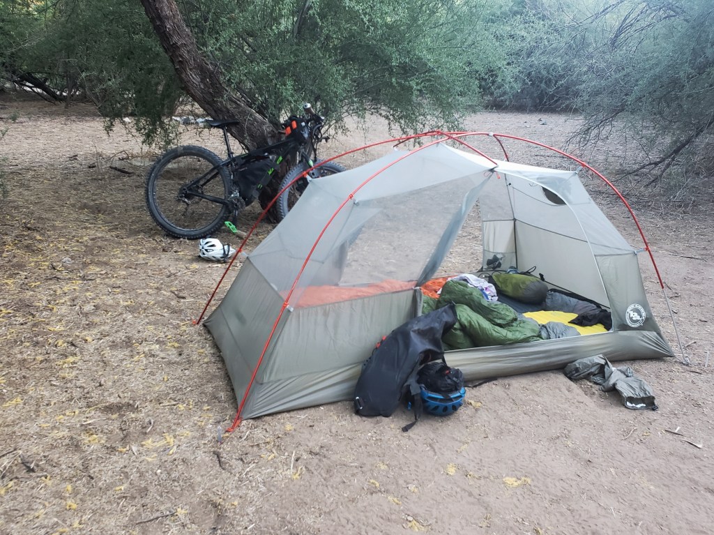
There were a couple developed campsites on the way up, but we were feeling strong and decided to do the whole climb in one day and continue onto dirt to begin the descent. By about 6:00 pm, we hit 8,000 ft which is a bit shy of the summit but all the route commanded of us. We hit the dirt and started the descent. But it wasn’t effortless. The road was flush with potholes, baseball sized rocks and other gravel, and stretches of washboard. We let a little air out of the tires, but the ride down was still a little rough. Just before dark, we found a stealth campsite for the night proud of our hard work for the day.


Day 5 – 27.2 Miles / +2000 ft gain
We continued our descent down Lemmon and eventually tackled some rolling hills as we made our way to the tiny town of Oracle which we had previously visited during our thruhike of the Arizona Trail in 2019. We stopped for snacks and resupply at the Dollar General.
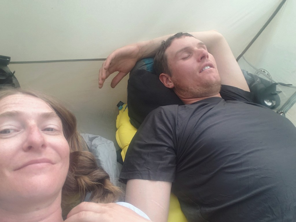
While on our break, we came to a sad realization that we were both experiencing some nerve issues in our wrists causing numbness and tingling for both of us with Sean additionally experiencing lack of grip strength and limited range of motion in some fingers. We decided to stay in Oracle for the night while we considered our options.
Days 6-9 – 26 Miles
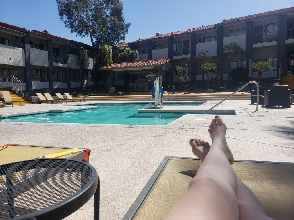
We spent the night reading about “Cyclists Palsy,” a relatively common injury among cyclists, particularly those riding long distances. The main cause is putting too much weight on your wrists when the majority of your weight should be on the saddle. Considering we had just descended a long rough ride down Mount Lemmon, it all seemed pretty clear how the injury had happened and the changes we needed to make. Our reading also indicated that without rest and adjustments, the nerve damage could be permanent. Properly spooked, we decided to head to Tucson only 25 highway miles away to take a few rest days.
Over the next three days, we saw mild improvements indicating we hadn’t permanently severed the ulnar nerve which signals the pinkie and ring fingers. We made some bike adjustments to accommodate a better riding position, and I added new ergonomic grips. Hopeful, we headed back to the route.
Day 10 – 70.7 Miles / +4300 ft gain
We quickly returned to the route outside of Oracle and happily hit the dirt all smiles. It was a scorcher, but we were elated to be back at it. We spent the day flowing on the dirt road with a brief stop in a tiny town for resupply and ended at a lovely BLM campsite.
Day 11 – 44.5 Miles / +5500 ft gain
We started our day with a few miles on pavement before we turned onto dirt. We made a quick stop by Wind Spirit Community Center in Dripping Springs to stock up on water for the day. Our host Jerry showed us some really nice hospitality with fresh squeezed blood orange juice and all we could eat clementines straight from the tree. We took off around 8 with a huge climb ahead of us up the Pinal Mountains.
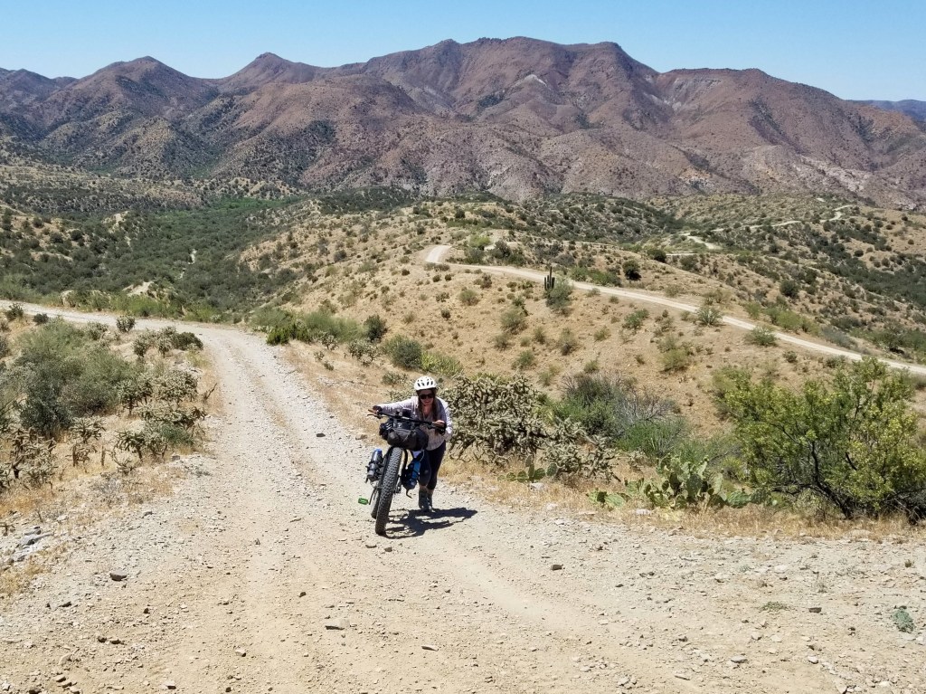
Eventually our very manageable climb up dirt became too steep to ride and the hike a bike began. We had about 6 miles to get to the top most of which involved pushing our bikes up the steep grade.
Despite the heat and the 1-2 mile per hour pace, we still managed to enjoy our afternoon -especially when we hit the top and cruised our way down to the town of Globe.


WWR – Segment 9 – Overall Experience
While we have tackled two bike tours in the last couple years, this ride is our first on mountain bikes and mostly off pavement. The route claims about 80% on unpaved surfaces and that figure has been mostly accurate. On our previous bike tours, I spent a lot of time concerned about where we were going. This time around, I’m thoroughly enjoying where we are. This style of riding is considerably more similar to backpacking – miles and miles in between tiny towns with a few cities sprinkled in.
I fell in love with AZ during our Arizona Trail thruhike a couple years ago and for good reason – abundant sunshine, fascinating desert flora, interesting rock formations, incredible skyscapes, and pine forests providing shade after tough ascents. It’s been a delight to return and experience it all over again.
The WWR has no shortage of elevation gain. Minus the days spent nursing an injury, we’ve averaged 3500 ft of gain each day. The long steep slogs bring us down to 3-5 mph, emphasis on the 3. We haven’t hit too much single track and this section only had a short stretch where the road was too rough and steep to ride.
On this section, water and food have been 50-70 miles apart. We’ve maxed out of water carrying capacity of 6 L each a few times, but it’s been enough to get us to the next source which so far has just been from town and no natural water sources. Food selection has been a little lack luster at some of the gas stations we’ve been obligated to resupply at, but somehow we’ve still maintained our vegan diet and aren’t carrying a stove. (More about vegan backpacking / bikepacking food here.)
It’s become pretty clear that we don’t quite have enough time to do the entire route all in one go with adventure number two on the horizon and a hard date we need to meet up with some friends in June. Regardless, we’re having a great time, thrilled to be living our best life outside.
WWR Cumulative Stats
- 11 Total Days
- 3 0-Mile Days
- 379.8 Miles
- 24,500 ft elevation gain
(miles and elevation gain tracked with Strava)
Join us here or on Instagram as we tackle the Western Wildlands Route (WWR) by bicycle. We have another month to see how much of the 2700 mile route we can get done.

This sounds like a neat adventure, I’m looking forward to following along!
So far, so good! We’ll be updating as we go, happy to have you along 😉
Yayayay! Can’t wait to read more of your adventures! Keep having a great time 🙂
Yeahhhh, more posts coming soon!
Pingback: Western Wildlands ROUTE Segment 8 – Globe, AZ to Grand Canyon, AZ – Infinite Geography
Pingback: Western Wildlands Route Segment 7 – Grand Canyon, AZ to Kanab, UT – Infinite Geography
Pingback: Western Wildlands Route Segment 6 – Kanab, UT to Soldier Summit, UT – Infinite Geography
Pingback: Western Wildlands ROUTE Segment 5 – Soldier Summit, UT to Bear Lake, ID – Infinite Geography
Pingback: Western Wildlands Route Segment 4 – Bear Lake, ID to HAILEY, ID – Infinite Geography
Pingback: Western Wildlands Route Segment 3 – Hailey, ID to Darby, MT – Infinite Geography