
Western Wildlands Route Segment 3 – Hailey, ID to Darby, MT

We’ve come a long way from the wall at the Mexican / Arizona border! Check out our experience riding Segment 3 northbound on the Western Wildlands Route (WWR).

Day 38 – 28.2 Miles / +2100 ft elevation gain
We woke up in our room in Ketchum and headed to Backwoods Mountains Sports as soon as it opened eager to get the busted tire replaced and continue riding. The bike mechanics were super friendly, helpful, and eager to get us back on the road. They didn’t have a 29 x 3″ tire, but thankfully a 29 x 2.6″ would do the trick. After a couple hours, we returned to the shop and my bike was ready to go. Sean noticed his brakes were getting pretty weak, so he had the mechanics replace the brake pads which they were able to do on the spot. By 1:00 in the afternoon, our bikes were both ready to continue north.
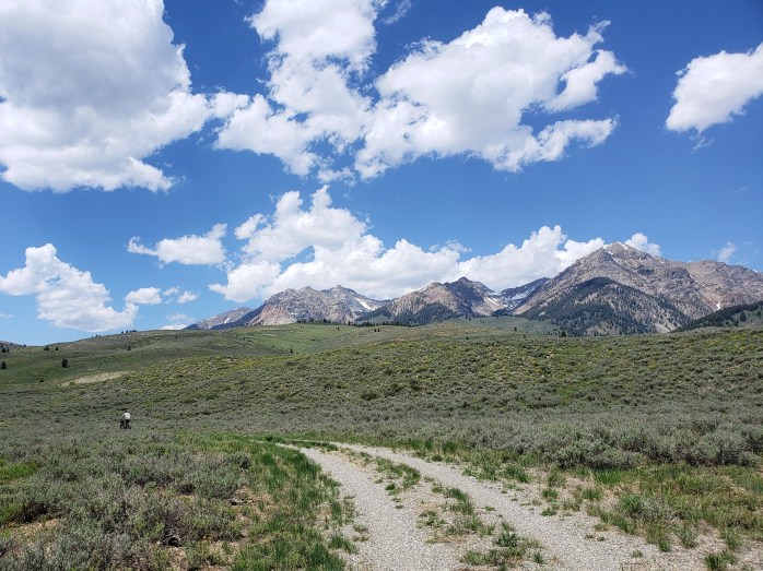
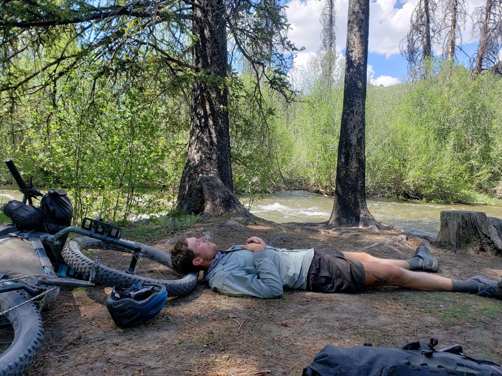
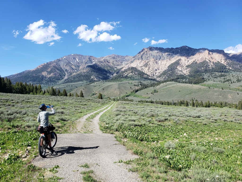
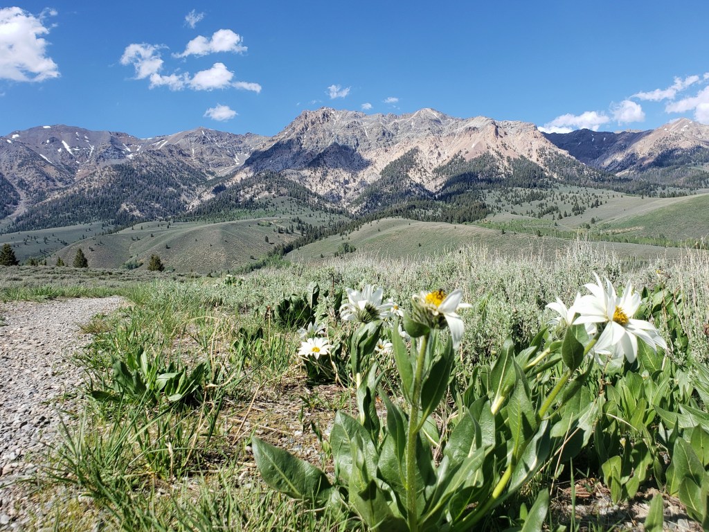
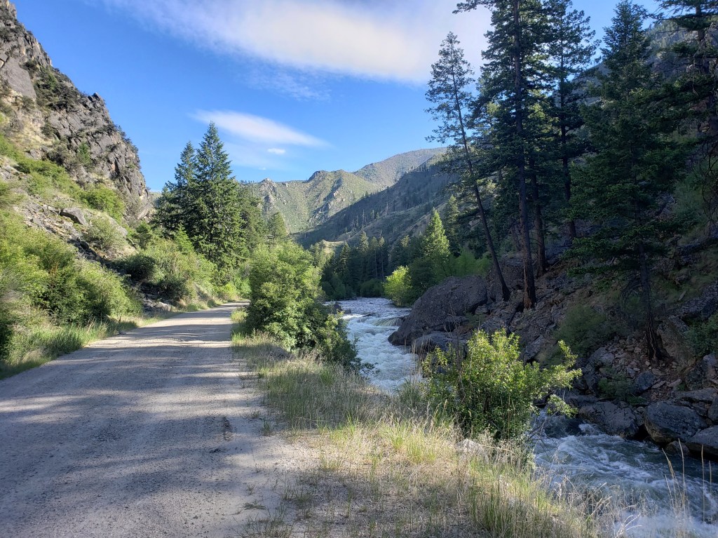
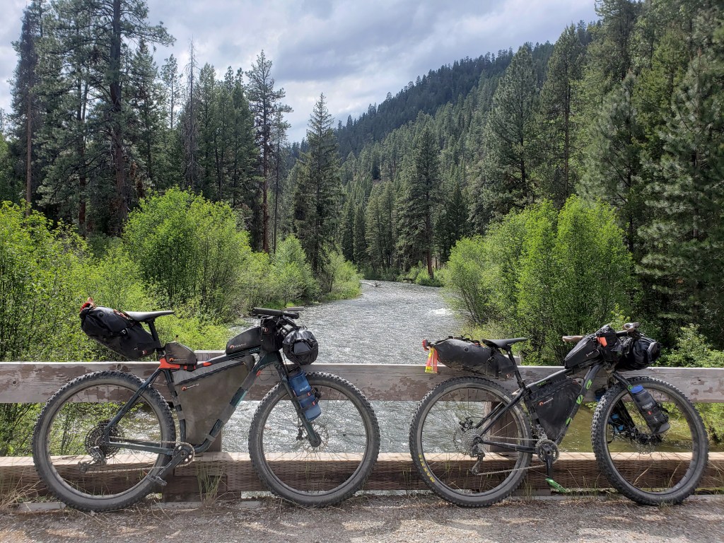
With a late start, we decided to make it a short day. Just out of town, the route followed a bike path that turned from pavement to dirt. We meandered through several official USFS campgrounds adjacent to the Big Wood River and even stopped for an afternoon nap riverside. After crossing the arid Idaho basin, we were elated to get into the forest with incredible views of the Sawtooth mountains. We ended our short day near Galena Lodge near miles and miles of mountain biking trails.

Day 39 – 69.6 Miles / +4100 ft elevation gain
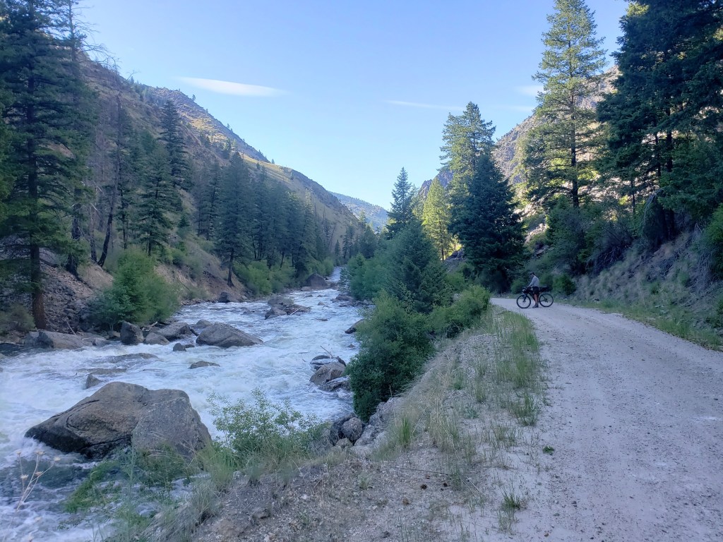
After a chilly night, we weren’t too eager to start the morning. Eventually we started pedaling, happy that our day began with a big climb to warm us up. Mountains towered above us as we rode through the valley towards the tiny town of Stanley. We got a small resupply at the little general store and followed the Salmon River out of town. After about 15 miles of highway, we turned onto Yankee Fork Road which became gravel almost immediately.
This area was mined in the late 1800s and early 1900s and is littered with history. Along the side of the road were big piles of rocks known as “dredge tailings.” About 6 miles in we saw the massive dredge that has been sitting there unused for about 70 years. We also passed through a few remnants of Bonanza and Custer City, now ghost towns, once populated by miners and families over a century ago.


Day 40 – 30.4 Miles / +2700 ft elevation gain
We were once again happy to start our day with a big climb to shake the morning chill. We followed the Yankee Fork up the pass and then a series of other creeks down the other side. As we descended, we exited the forest into a dry space full of sage brush under abundant sunshine. Soon enough, we were on pavement heading into the little town of Challis.
Our time on the WWR was starting to run out, and our end point was on the horizon. We came to the realization that we actually needed to slow down a little bit, so we took advantage of the opportunity to stay in town. We chose one of the rustic motels and enjoyed a night in a bed out of the wind.

Day 41 – 88.2 Miles / +5900 ft elevation gain
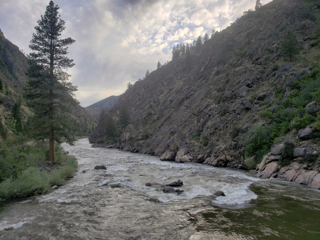
We began our morning with coffee and an aptly named “mountain of hash browns.” (I mean, when in Idaho, eat potatoes, right?) Then, headed out for the first climb of the day. On a dirt road, we climbed up and up with a super steep section near the top that required us to push our bikes. We glided down the other side which led to the second big climb of the day. This one was longer, but thankfully considerably less steep. As we reached the pass, we looked at the guide and realized we had a nearly 45 mile stretch ahead of us that was downhill and flat. The grade near the top required no pedaling. We spent the afternoon and early evening following Panther Creek downstream to where it meets the Salmon River. As we neared the Salmon, cliffs towered overhead as we went through a canyon. The final 10 miles of the day we followed the river to an official USFS campground putting a beautiful end to an incredible day of bike riding.

Day 42 – 68.4 Miles / +5700 ft elevation gain
We woke early with a 5000 ft climb immediately ahead of us. In some ways it was bittersweet as we knew it was our last big climb of the WWR for now. We spent all morning climbing up and up mostly through a burn area. Though the land was scarred, the fallen trees created clearings that allowed us to see the surrounding mountains. Around noon, we reached the top and started gliding down the other side.
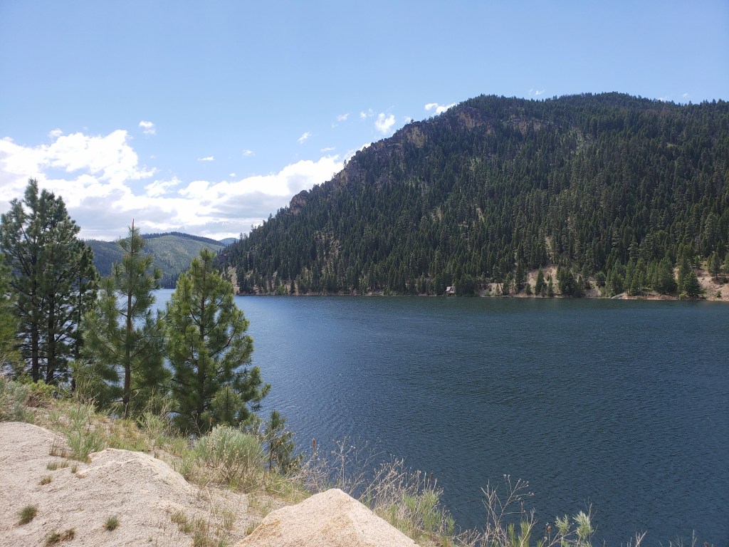
Big clouds rolled in and a little rain leaked from the sky. We did our best to keep our lunch break short and continued on our way. The river we were following soon met Painted Rocks Lake, and we exited dirt for pavement as we rode around Painted Rocks State Park. We watched as clouds moved overhead, unsure what would happen. Our ride remained on pavement as we took a side route to the town of Darby which we visited on our Continental Divide Trail thruhike in 2018. Around 5:00, we made it to Darby and stayed at an RV park for the night.
Day 43 – 61 Miles / +600 ft elevation gain
Darby would be our exit point from the WWR for now. When planning this trip, we knew we had adventure number 2 with a specific date we had to be there to meet up with friends. North Idaho and Montana are incredibly sparsely populated with only a handful of cities. Missoula is 60 miles straight north of Darby, so we made that our destination to switch from biking to hiking.
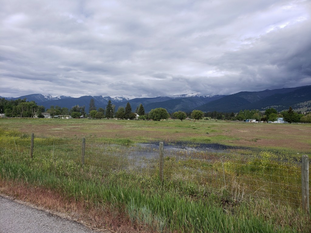
We woke up early in Darby knowing we had about a 50% chance of rain. 15 miles north, we went through the town of Hamilton (where we obviously cued up the Hamilton soundtrack) and noticed a paved bike path adjacent to the highway. We were stoked to get off the highway shoulder and have a buffer between us and the cars going 70+ mph. We cruised down the bike path through a few towns as the clouds clung to the mountain tops and chased us north.
Around 2:00, we arrived to our motel in Missoula proud of our 2200 miles of bike riding that brought us there. The next day we watched the rain pour as we sat dry and cozy in our room.
We spent the following two days tying up lose ends as we prepared for our summer hike! We picked up our backpacks that were shipped to us, stored our bikes at The Bicycle Hangar (an incredibly kind and supportive bike shop in Missoula), and got ourselves ready to start a new adventure on foot. We’ll be back for the bikes and the WWR in a couple months, but until then, follow along here as we return to our roots and tackle another long distance hike.
Western Wildlands Route Segment 3 – Overall Experience
Wow, this segment was beautiful! We were so happy to return to the mountains after a dry and hot stretch through Southern Idaho. This segment had one of the longest food carries of the WWR at about 160 miles, but water was everywhere. Thankfully, the weather held for us in early June with temps in the 70s in the day at maybe dipping into the high 40s at night.
WWR Cumulative Stats
- 43 Days
- 8 0-Mile Days
- 2204.5 Miles
- 127,100 ft elevation gain
- Average daily movement (w/o 0 mile days)
- 63 miles per day
- 3600 ft elevation gain per day
(miles and elevation gain tracked with Strava)
More from the Western Wildlands Route
- Segment 4 – Bear Lake to Hailey
- Segment 5 – Soldier Summit to Bear Lake
- Segment 6 – Kanab to Soldier Summit
- Segment 7 – Grand Canyon to Kanab
- Segment 8 – Globe to Grand Canyon
- Segment 9 – MEX / AZ Border to Globe
- Full Gear List for the WWR
