
Pacific Northwest Trail Sections 4 + 5 – Northport, WA to Cold Springs, WA

In mid-June 2021, we set off from Glacier National Park westbound heading towards the Washington coast on the ~1200 mile Pacific Northwest Trail (PNT) with a group of the most hardcore hikers we know. Check out our experience in Section 4 and Section 5 of the PNT through the Kettle River Range and Okanogan Highlands.
(Links to previous sections at the end of this post.)

Day 20 – 29.9 Miles / +6000 ft elevation gain
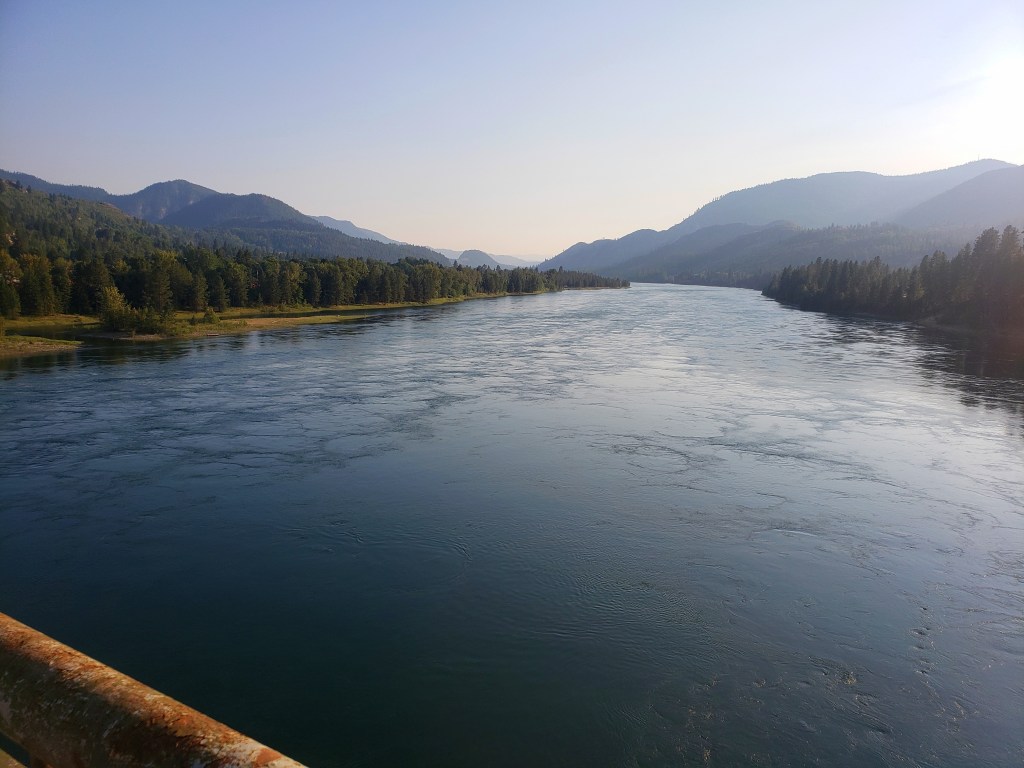
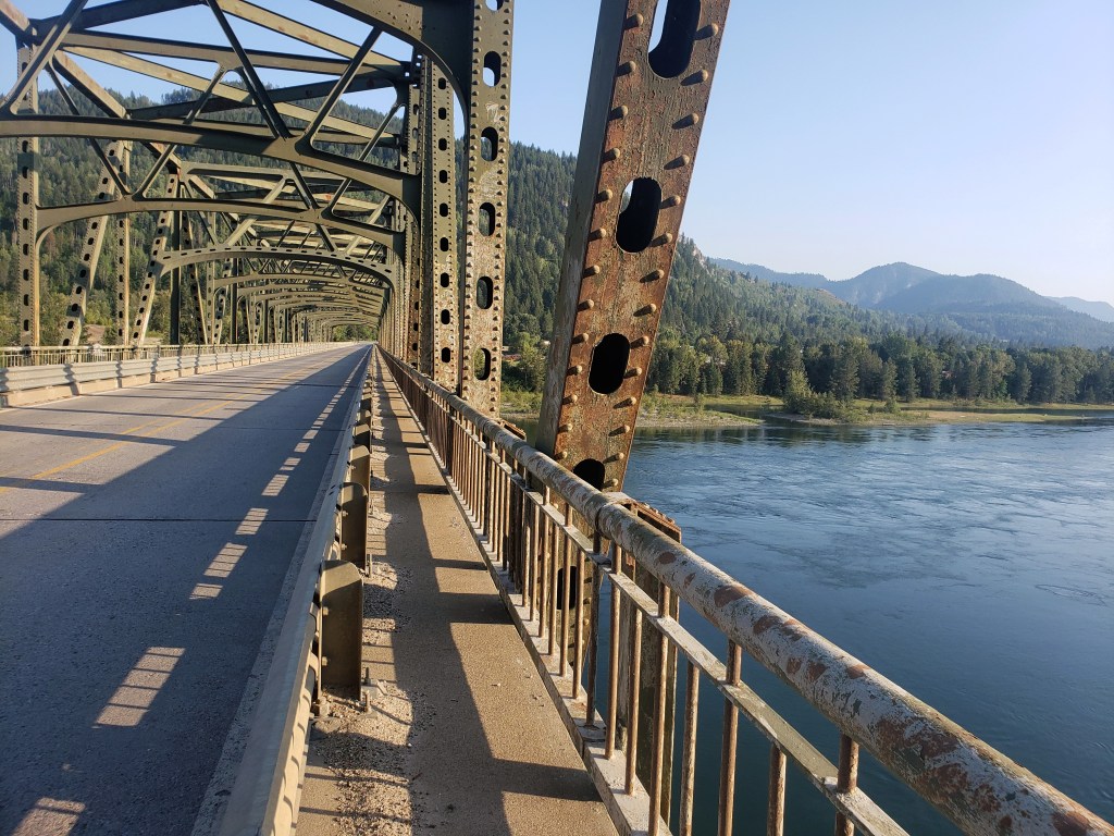
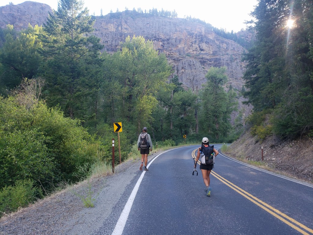
We started Section 4 when we left Northport and crossed the Columbia River in the evening on day 19. We ended the day about 6 miles out of town at a developed campground and got up early in the morning to begin a long road walk. Leading up to this campsite, we had walked about a 30 mile stretch of road. From the campground, we still had over 30 miles of road walking ahead of us until we would resume hiking on trail.
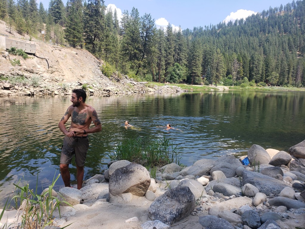
We had a lovely 4th of July morning as we walked forest service roads adjacent to a creek. The cool temps faded as morning became noon and the sun beamed down on us. By about 1:00, we had already walked 22 miles and stopped at the Kettle River to swim and siesta. We knew the temperature was pushing triple digits and hiking seemed impossible. We laid around until about 5:00 when we deemed it possible to walk. We sauntered down the road and found a spot to camp by 9:00.
Day 21 – 32 Miles / +8900 ft elevation gain
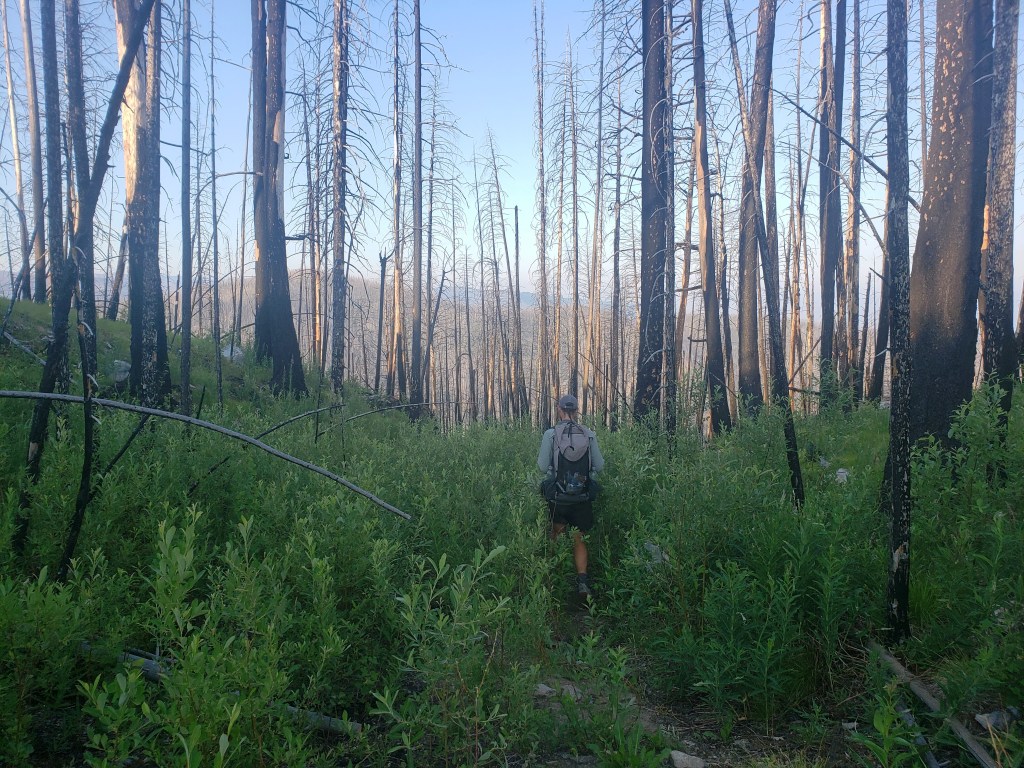
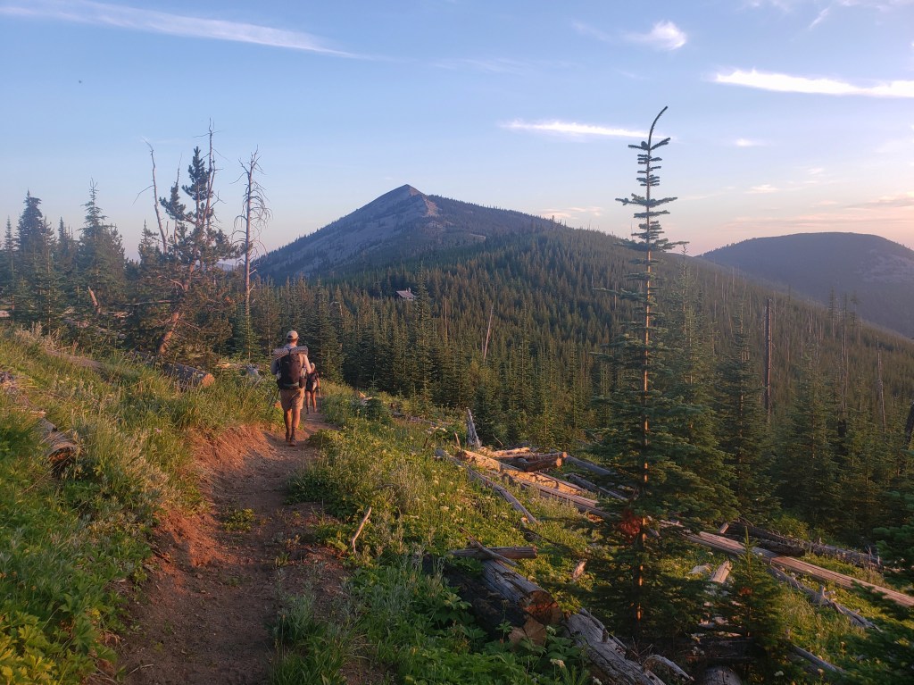
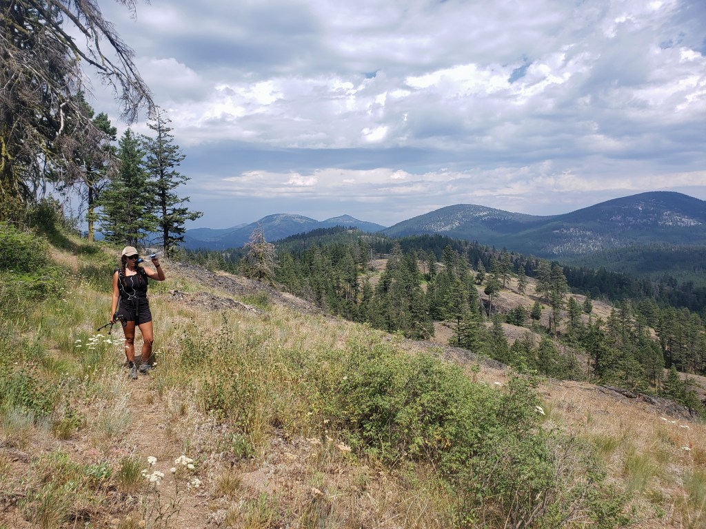
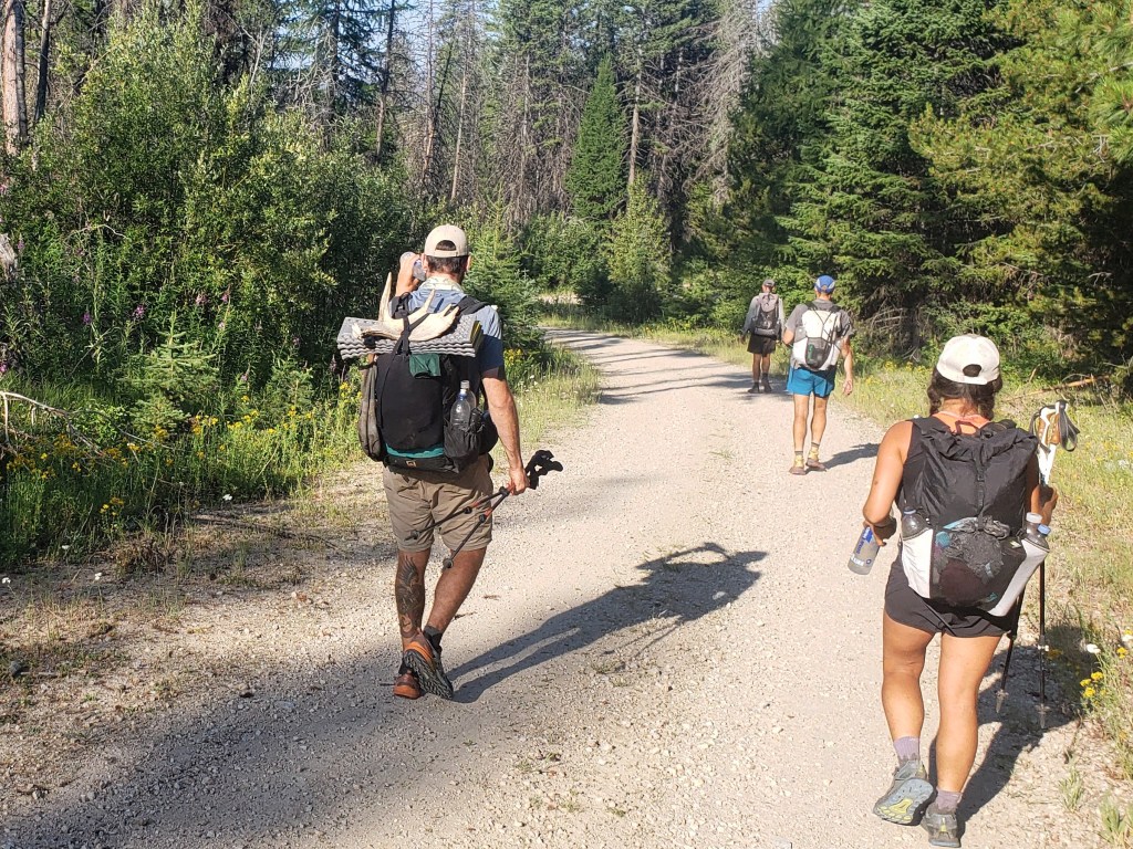
Our morning began early, and we resumed road walking a mix of dirt and overgrown decommissioned forest service roads. After a total of about 60 miles of road walking over the past couple days, we were excited to reach single track despite being in a burn area. The Pacific Northwest Trail coincides for a stretch with the Kettle Crest National Recreation Trail on the east side of Republic. We welcomed the overcast sky and temperatures in the high 70s as we walked through the burn area which provided no shade. In the late afternoon, we finally walked into intact forest as we rode the ridge with incredible views of the Kettle River Range.

Day 22 – 11.2 Miles / +2900 ft elevation gain
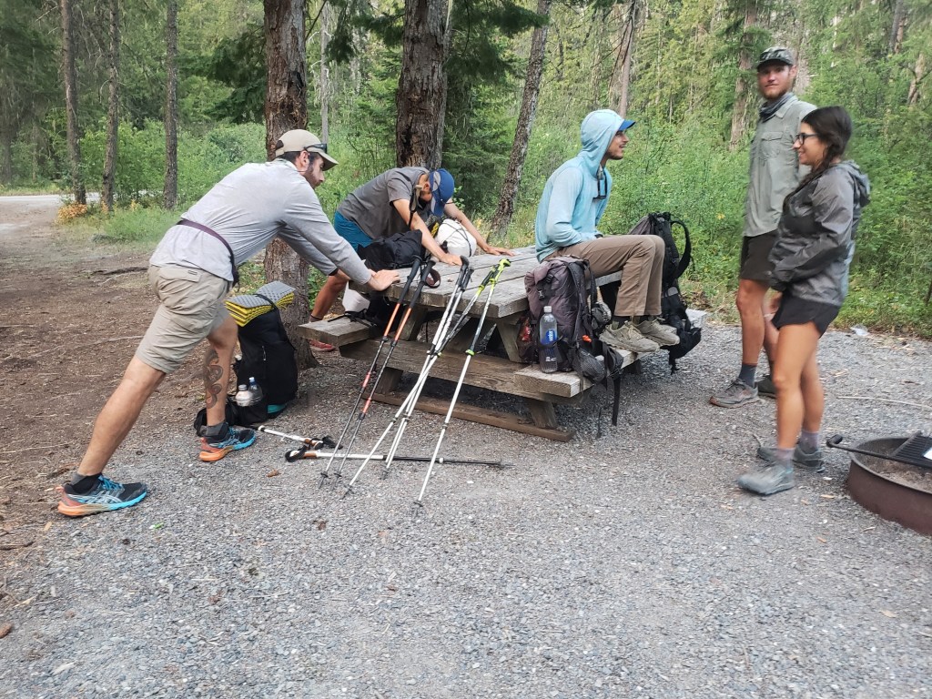
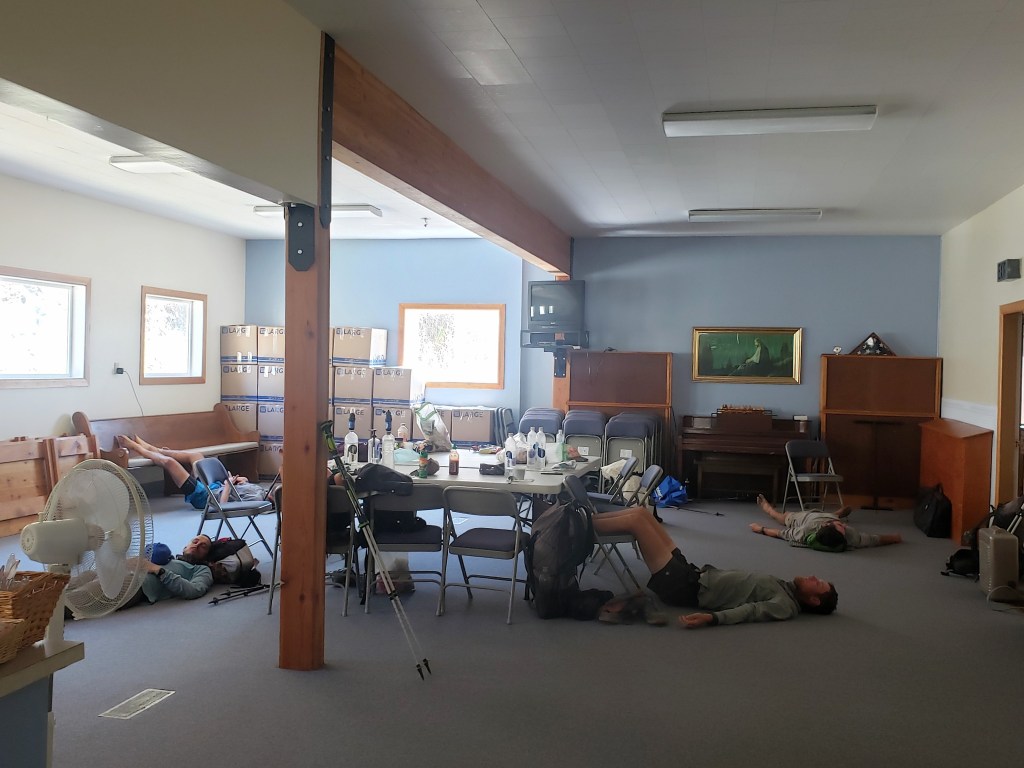
In the morning, we were just 7 trail miles from the highway where we would hitch to Republic. Sean and I waited a little over an hour for a ride, but still joined our friends in town by 10:30. It was considerably warmer in town than up in the mountains, and we spent the day tending to our chores, loitering, and waiting out the heat.
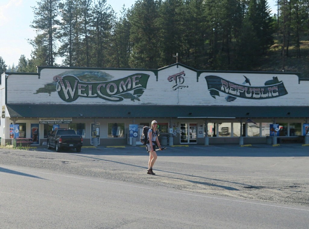

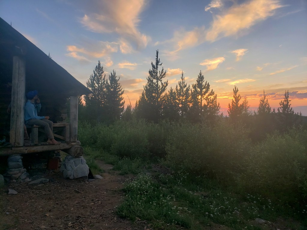
The PNT makes a large semi circle around Republic giving hikers the opportunity to access the town from the east, south, and west sides. We resupplied for 60 miles which would take us from the highway crossing east of town to the third access west of town. We heard of a backcountry USFS cabin that was just 4 trail miles past the highway crossing, so we booked it and headed there for the evening. The cabin had a huge porch with chairs, cots inside, and a propane stove. Compared to our standard night, this was glamping and we were stoked.

Day 23 – 31.2 Miles / +7300 ft elevation gain
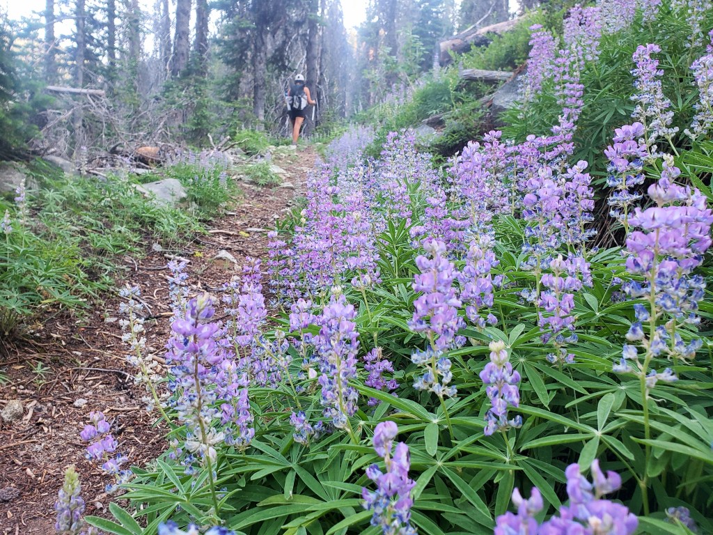
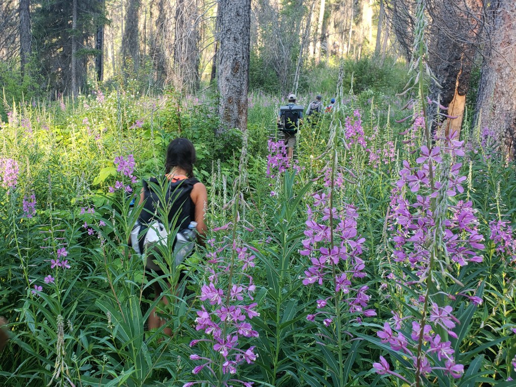
We started our day sipping coffee while watching the sunrise from the cabin porch, then headed out. The PNT continued to coincide with the Kettle Crest trail for a few miles, providing us some of the nicest section of hiking we had seen thus far. The sky and the ground mimicked each other with soft orange and pink clouds above and mirrored wildflowers below. Our dreamy morning suddenly became a bushwhack as the PNT diverted from the Kettle Crest and connected to a forest service road. Thankfully, it was only a short stretch of wayfinding.


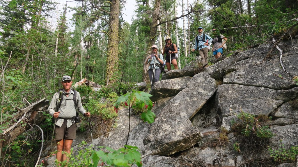
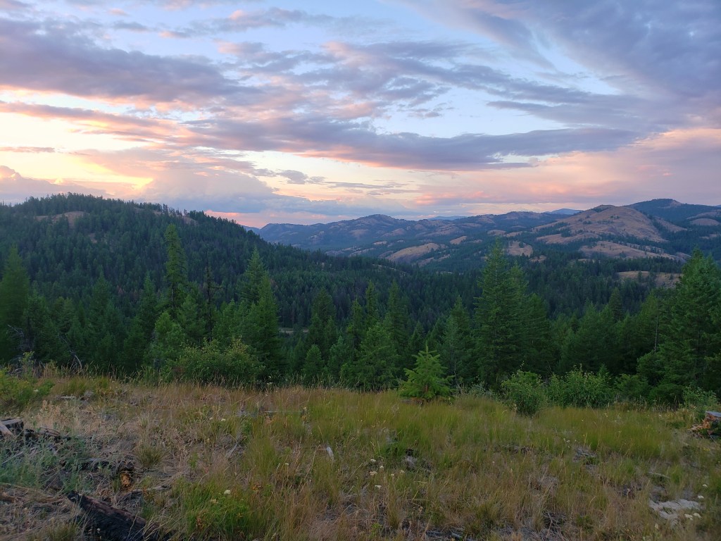
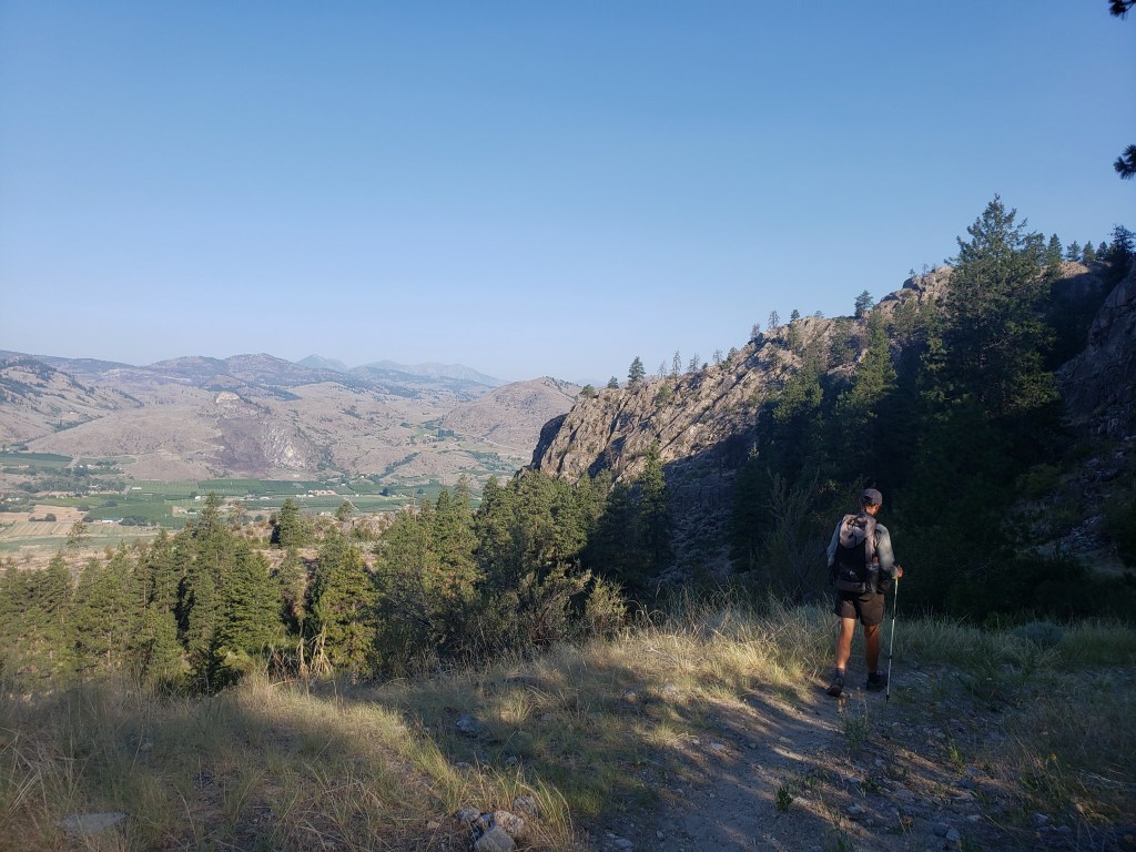
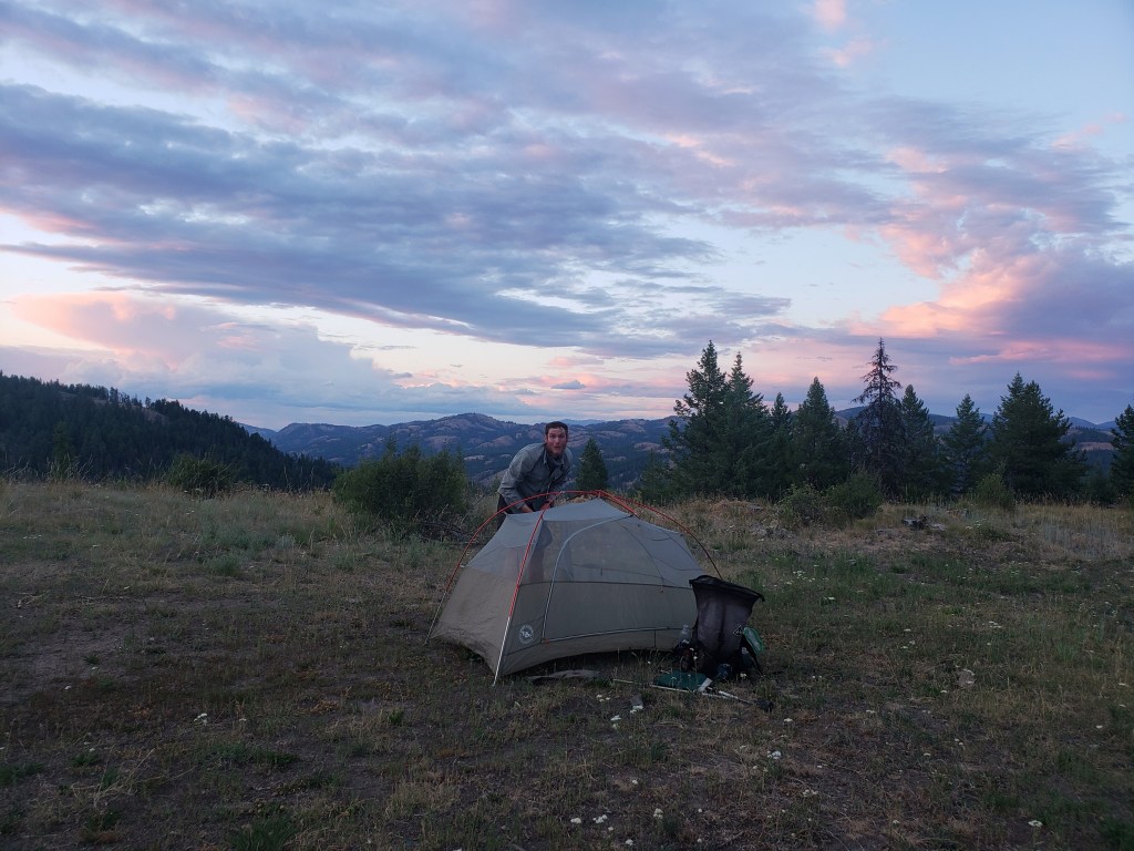
In the afternoon, we enjoyed another stretch of single track as we wound our way down a ridge. We noticed fewer trees and larger piles of dust as we descended confirming were in some of the driest sections of Washington that the PNT traverses. Suddenly, we started following a massive canyon wall downhill, a delightful surprise. Eventually, the trail ended, and we walked a bit of pavement to a developed campsite for dinner. Knowing town was about 28 trail miles away, we decided to walk a bit further to cut down on the next day’s work. After our final uphill climb for the day, we came to an overlook with a magnificent sunset on display. We were mezmorized. Leaving seemed unnecessary and ungrateful.


Day 24 – 23.9 Miles / +2800 ft elevation gain
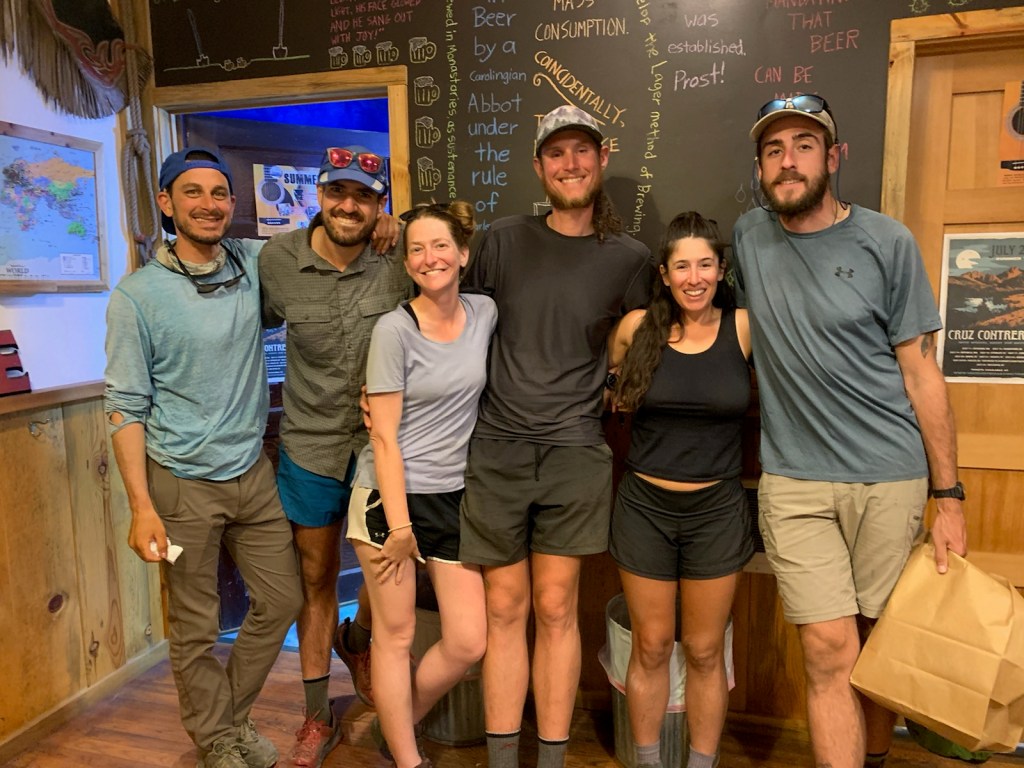
We awoke early, eager to get our hiking done and head back into the comforts of town. The majority of the day was spent walking forest service roads with a short 1.5 mile section of bushwhacking. We kept the breaks short and the pace speedy. Around 2:00, we had finished 24 miles and stuck out our thumbs for a ride back to Republic where showers, food, and a microbrewery awaited.

Day 25 – 21.4 Miles / +4300 ft elevation gain
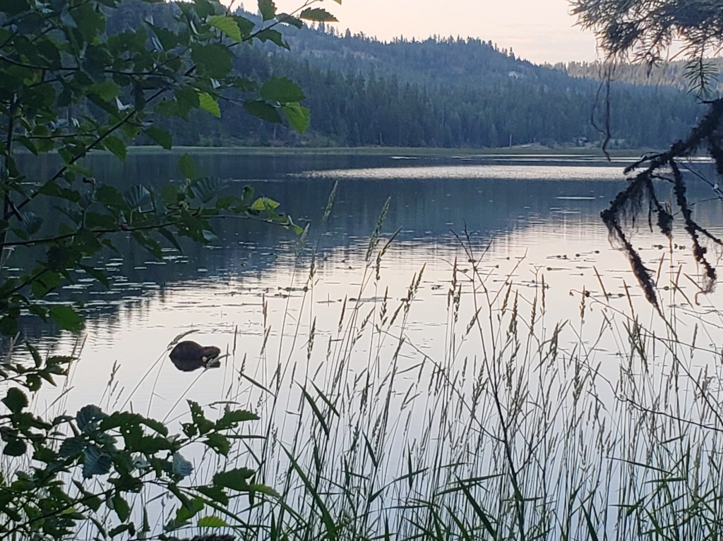
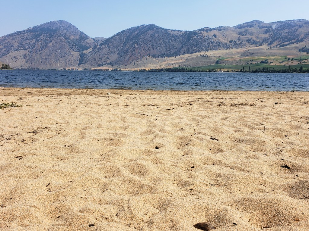
Leaving Republic for the second time marked the end of Section 4 and the beginning of Section 5 into the Okanogan Highlands. We knew we had a challenging stretch ahead of us through Sections 6 and 7, so we had breakfast in town and set ourselves up for an easy 21 mile day. We returned to the PNT on single track and busted out a steep climb, but that was most of the hard work for the day. Eventually, we were back on forest service roads for the majority of the walking. In the evening, we arrived at Lake Bonaparte. Our friends dipped in the resort restaurant while we watched several beavers swim and splash in the lake.
Day 26 – 28.4 Miles / +5400 ft elevation gain
We got an early start and began the day with a big climb up Mt Bonaparte. The walk was well graded and pleasant as we watched the color filled sky at sunrise above Lake Bonaparte. The gang got ahead of us and decided to check out the lookout tower at the summit. We continued on our way, running into a trail crew on the walk down working on the PNT which coincided with their winter cross country ski trails. They welcomed us as the first PNT hikers they had seen this season and offered us cherries and nectarines. We walked a few more miles to the tiny community of Havillah where the local church invited hikers to fill up on water and relax inside. We knew we didn’t have too many more miles to do after the church and most of them would be on a road, so we made the easy decision to take an afternoon nap in the air conditioned church. Around 3:30, we continued on our way aiming to get less than 10 miles from Oroville. Shortly after we resumed walking, a woman stopped her car and started handing us each a Gatorade and a big bag of cherries to share. Dreams do come true. We finished our walk around 8:00 with incredible views of the valley below us excited to just have 9 miles to do the following day.


Day 27 – 9.2 Miles / +700 ft elevation gain
Somehow a 6:00 am start is us sleeping in. We settled into an easy groove as we headed the 9 miles into Oroville. Our walk was easy as we headed downhill and eventually to a highway directly into town. We arrived by 9:30 and were excited to have the rest of the day off in town.
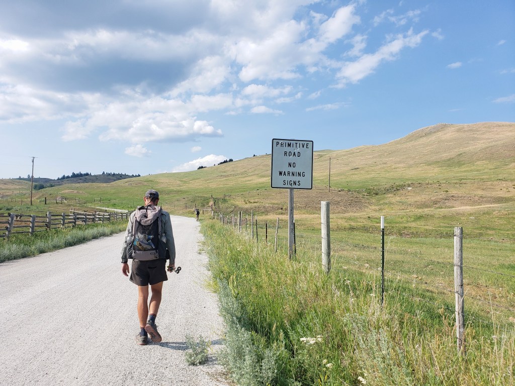
Leaving Oroville, we knew we had a 160 mile food carry until we would pick up our next resupply box at Ross Lake. Gusha and I started scheming to see if there was any possible way to make it easier on ourselves. We came up with a plan to get a ride 24 miles up trail and hike back east bound back into the town of Oroville. The entire 24 miles was a road walk, and it would certainly be under full sun exposure in the 90s. We went to Pastime Brewery for a round of beers and secured a ride in the morning with a friendly local happy to help us out.

Day 28 – 24 Miles / +1700 ft elevation gain
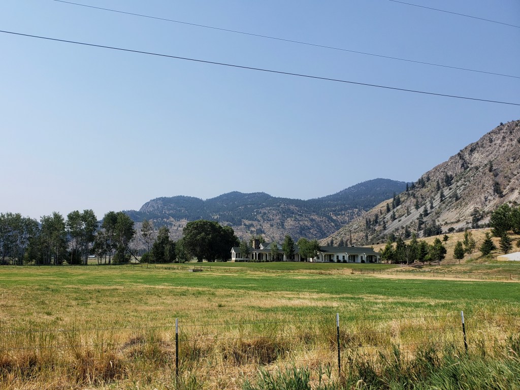
Our new friend Frazier arrived at our hotel for a 9:00 am pickup, and we headed 24 miles down the road. We hopped out with light packs and headed eastbound down the pavement that would lead us back to Oroville. The walking was easy, and everyone was in the mood to walk fast and return to our air conditioned room. After a couple hours, we wound our way around beautiful Lake Palmer and were called over to have lemonade and cookies on a local’s porch. We said our thank yous trying to keep our break short and continued pounding pavement. The sun was relentless and the pavement radiated heat as we walked. We took a quick break around 3:00 to get out of the sun by the Similkameen River, but didn’t linger too long. Around 4:20, Frazier drove by in his truck with cold water which was the perfect motivation to get to town faster. Our pace was upwards of 3.5 mph as we pushed back to our cozy motel room. At 5:40 we returned to Oroville thrilled our scheme worked out and the 24 mile road walk was behind us.


Pacific Northwest Trail Sections 4 + 5 – Overall Experience
222.8 Miles / +40000 ft elevation gain
For the first time on this trail, I feel like I can say Sections 4 + 5 didn’t have any significant challenges like the previous sections have had. Sections 4 + 5 did, however, have the highest percentage of road walking. Nearly 70% of both sections was a road walk, mostly gravel forest service roads with occasional stretches of pavement. It also included several short bushwhacks and a large burn area. The entire region is markedly dry and arid with high desert features. We noticed more dust, fewer water sources, and abundant sunshine.
Double town access to Republic was definitely a win with town amenities on either end and a short resupply carry in between. Republic was a warm, welcoming trail town with everything we needed condensed into a small town center. We left Republic with another short stretch to Oroville. I don’t really mind the roadwalks, so I consider Sections 4 +5 a nice change of pace from the relentless climbs and major bushwhacks we’ve done in previous sections. But, I am looking forward to getting out of the lower dry elevations and heading west into the North Cascades.
After about 500 miles on any thruhike, I finally start to feel strong. This trail has been no different. The blisters and foot pain I felt at the beginning have faded, and my average walking speed has increased. My PNT experience thus far has seriously increased my tolerance for bull shit, and it’s getting easier to roll with the punches this trail continues to throw at us. Thinking back, maybe I enjoyed sections 4 + 5 so much because they weren’t overly demanding.
PNT Cumulative Stats
- 28 total days
- 3 0-mile days
- 599.8 total miles
- +113,700 ft total elevation gain
- Average Daily Movement (w/o 0 mile days)
- 24 miles
- +4500 ft elevation gain
More from the PNT
- Section 1 – Glacier National Park to Eureka, MT
- Section 2 – Eureka, MT to Bonners Ferry, ID
- Section 3 – Bonners Ferry, ID to Northport, WA
We’re hiking the ~1200 mile Pacific Northwest Trail westbound from Glacier National Park to the Washington coast with a group of hardcore hiker friends. Follow along here, on Instagram, or Facebook.

❤👣👣👣👣👣👣
Thanks for taking me along!
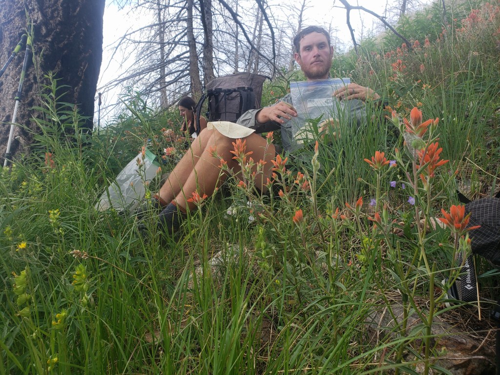
2 questions: packing out a moose shed. What is that? Straying on private property- what is that figure? This section sounds like the most fun you’ve had so far. Great trail angels and views, and wonderful photography! Thanks for sharing!
A moose antler shed! This one was relatively small but still probably 5 lbs and 6-8 inches across. The route got a little confusing and we popped into someone’s property briefly. No one noticed and we were back on trail (forest service road) real quick. New post coming soon!
I’m watching you!
I so enjoy the photos that go along with the reading and personal descriptions.
It’s a wonderful saga…. keep it going.
Dad.
Will do, happy to have you along 💜
Does this mean you’re at the halfway mark???
You guys ARE strong! You ARE crushing it! You guys have problem solved and pushed through and done it all through a historic heatwave!!
No easy feat, my friends.
We love y’all and miss you!
Woohoo over half way!! New post coming soon, it just keeps getting better 🏔️🌎
Pingback: Pacific Northwest Trail Section 6 – The Pasayten Wilderness – Infinite Geography