
Summer of Summits: Castle & Conundrum Peaks

Day 35 – 38 miles biking / +3200 ft elevation gain, 4300 ft elevation loss
From our gorgeous campsite, we were only 4.5 miles and 1300 ft from the top of Independence Pass, the highest paved pass in North America. If you’re cruising around Colorado, this is a highway not to be missed! We had a blast riding up through the valleys and winding our way to the top. A little less than an hour of riding brought us all the way up with astounding views in every direction.
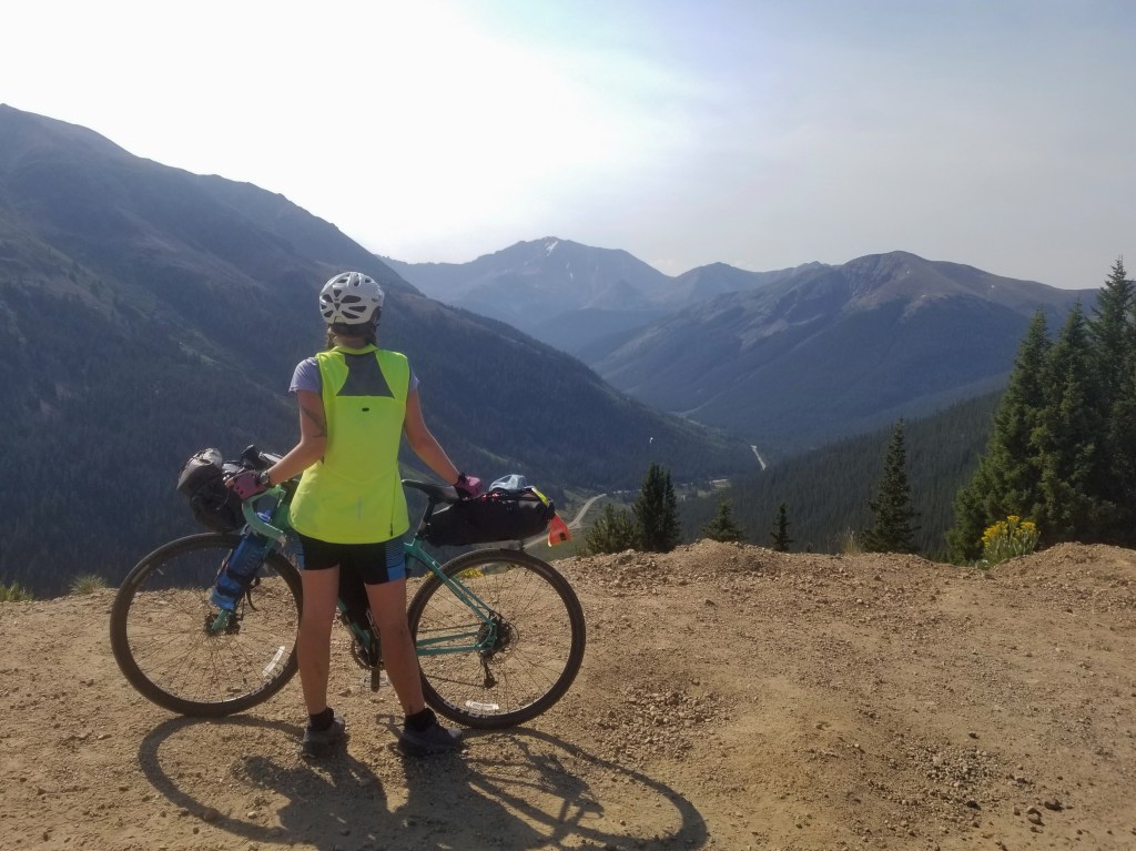


After a few photos, we hopped back on the bikes and cruised down 20 miles and 4200 ft in less than an hour with a brief stop at the former mining town of Independence. We immediately rode to get some food and resupply for the next day’s hike.
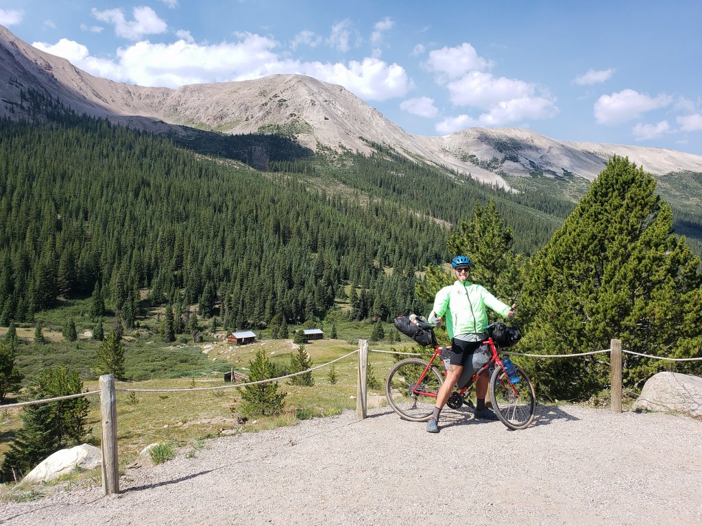
From downtown Aspen, we rode the bike paths up to Castle Creek Road and began a 12 miles ascent to where the pavement ended. Castle Creek Valley was gorgeous and the 1900 ft of elevation gain wasn’t too difficult considering the road was paved! (Everything’s nicer in Aspen 😁)
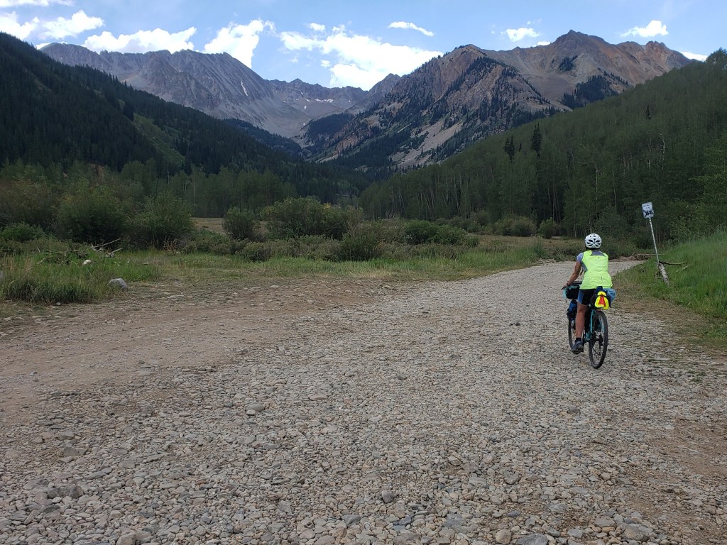
When the pavement ended, the road turned to a chunky gravel road with lots of baseball sized rocks and potholes. We road a small portion of it but had to push uphill for about a half mile before we could find a campsite. We made camp and set an early alarm.
Day 36 – 12 miles hiking / +5000 ft elevation gain; 16 miles biking
The majority of the distance of the hike we walked on the 4 wheel drive road up Castle Peak. We began just before 5 am and briskly walked the road using our headlamps. We witnessed a beautiful sunrise as the light lit up the surrounding peaks.

Around 6:30, the road turned to “trail” crossing a boulder field and leading to a permanent snowfield. There was a pretty clear line already carved in the snow, and we made our way easily across.


The next section was a set of slick, steep switchbacks leading to the ridge through loose gravel and dirt. There were a few options to get to the summit, but we decided to ride the ridge as it seemed like the simplest route. We climbed up and over rock walls and did our best not to look down the sheer drop offs on either side.


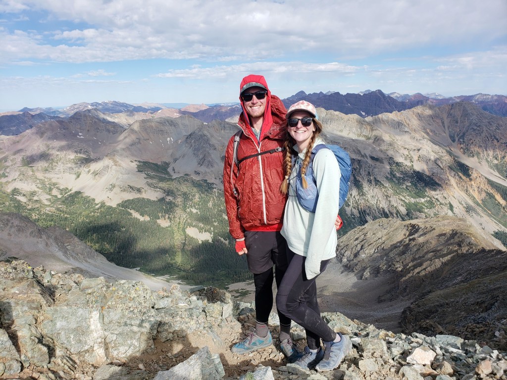
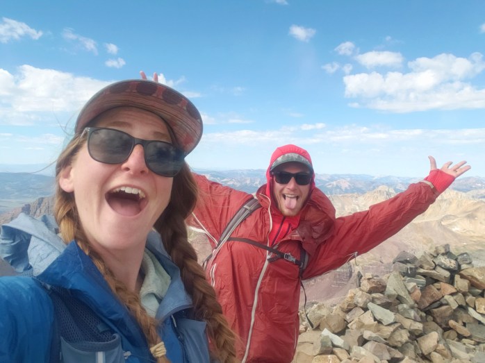
Just after 8 we made it to our first summit of the day, Castle Peak. Beyond Conundrum Peak, we could see the Elk Range including the Maroon Bells, Pyramid Peak, Capitol Peak, and Snowmass. We were amazed by the contrasting colors of the red peaks of the Bells and the shimmering silver of Capitol and Snowmass.
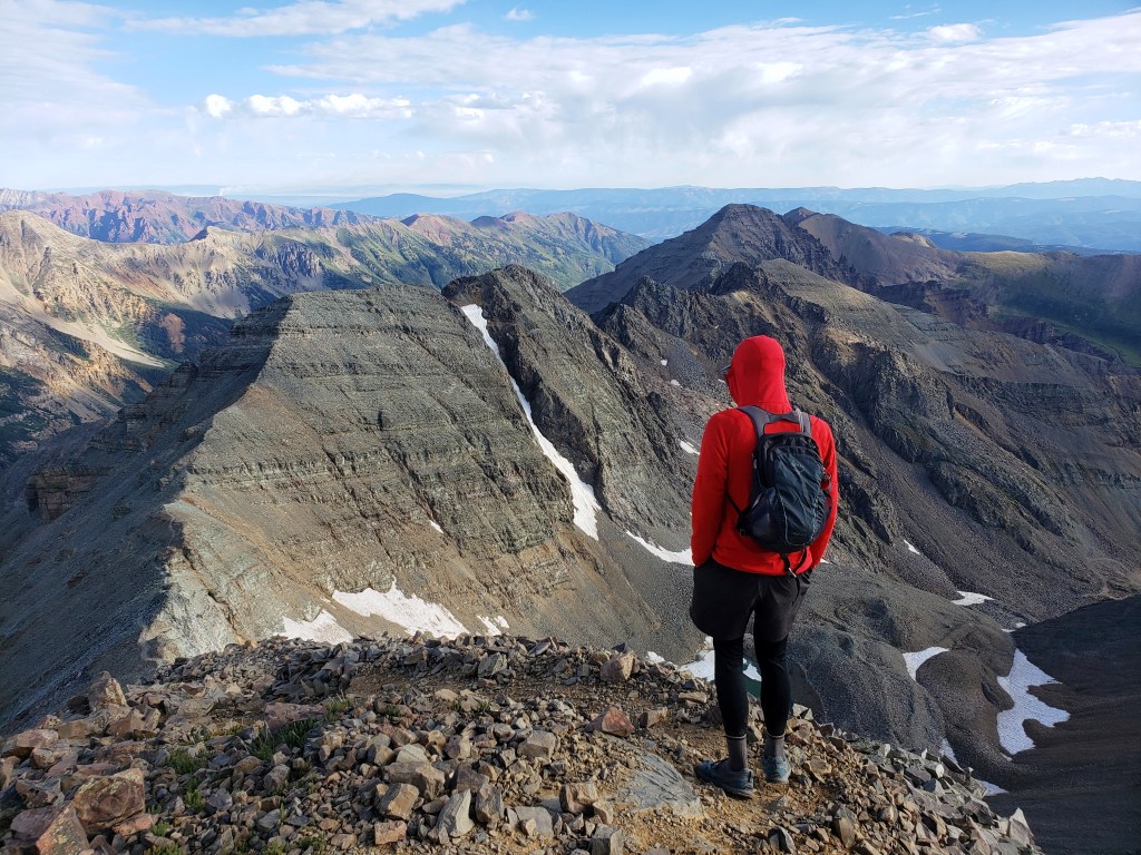
After a few minutes at the summit, we headed down the other side of the ridge towards Conundrum Peak. Other than a short steep section of loose rock, the route was simple and took about a half hour from peak to peak.

We enjoyed our time here soaking it all in and chatting with some fellow hikers. A couple of locals informed us of the fire that had just broken out in Glenwood Springs about 40 miles away. At some angles we could see the billowing smoke.


After snacking, we headed back towards Castle Peak to retrace our footsteps down the mountain. Some hikers decided to take a faint trail from the saddle between the mountains, but after checking out the route, we opted for the longer hike over more stable ground.


We headed back up to the summit of Castle, down the ridge, and then to the switchbacks. The snowfield was much quicker on the way down as we opted to glissade through it for a little fun. Not long after, we returned to the 4 wheel drive road and briskly walked back to camp.


After packing up camp, we now had the joy of riding our bikes down Castle Creek Road 1900 ft over twelve miles. If you didn’t already know, there are no bad views in Aspen. The road had a few ups which gave it a roller coaster effect. We were both grinning the whole way to town, blissfully enjoying the cruise, the sunshine, and the day off in Aspen that awaited us!
If you’re keeping track…
737 Miles by Bike / +58,000 ft elevation gain
195 Miles Hiking / +80,200 ft elevation gain
28 – 14,000+ ft Summits
- Castle & Conundrum Peaks
- La Plata Peak
- Huron Peak, Missouri Mtn, Mt Oxford, & Mt Belford
- Mt Shavano & Tabeguache Peak
- Mt Princeton & Mt Antero
- Mt Harvard, Mt Columbia, & Mt Yale
- Mount Sherman
- Mount Massive & Mount Elbert
- Mount of the Holy Cross
- Mt Democrat, Mt Cameron, Mt Lincoln, and (not) Mt Bross
- Quandary Peak
- Torreys and Grays Peaks
- Mount Bierstadt
- Mount Evans
- Long’s Peak
We are Bekah and Sean, out on an adventure to summit as many CO 14ers as possible this summer and reaching them via bicycle! Follow along here or on Instagram as we complete our Summer of Summits.

Amazing!
Pingback: Summer of Summits: Maroon Bells & Pyramid Peak – Infinite Geography
Pingback: Summer of Summits: Snowmass Mountain – Infinite Geography
Pingback: Summer of Summits: Capitol Peak – Infinite Geography
Pingback: Summer of Summits: Carbondale to Denver – Infinite Geography